Manassas National Battlefield Park

Why it's listed
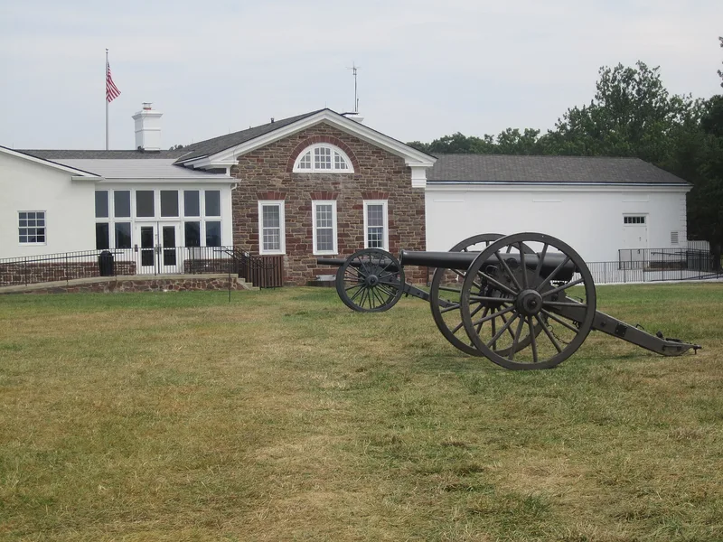
Manassas National Battlefield Park covers 4,522 acres of gently rolling, half-forested land in Prince William and Fairfax counties, Virginia. It is the site of the First and Second Battles of Manassas, fought in 1861 and 1862. U.S. 29/211 and Va. 234 divide it into quadrants, following the lines of the wartime turnpike and Manassas-Sudley Road. Surviving features include the red sandstone Stone Bridge, the Stone House that served as a field hospital, Henry Hill, Chinn Ridge, and the unfinished railroad grade that sheltered Confederate troops in the second battle. Many wartime houses are gone and are marked by foundations or ruins, including Pittsylvania, Portici and the Chinn house. Monuments include two 1865 Union obelisks, the 1940 Jackson equestrian statue, and New York regimental memorials from 1906. The listing recognizes the battlefield landscape and these historic resources. Later buildings such as the visitor center do not contribute to its significance.
Significance in brief: The park preserves the terrain and landmarks of two major Civil War battles. Features such as the Stone Bridge, Henry Hill, Chinn Ridge and the unfinished Manassas Gap Railroad grade are tied directly to the fighting. The form also records monuments dating from 1861 to 1940 and notes that modern additions do not contribute to its significance.
Machine-generated summary. This summary was generated by a language model from the official nomination document and has not been reviewed line by line by an editor. It may contain errors. Check the source document before relying on any detail. Source: nomination document (PDF) · National Archives catalog entry. NRHP reference 66000039, listed October 15, 1966. Summary generated October 2026 (model claude-sonnet-5-5, prompt v1.0-2026-10-29, confidence medium).
Key facts
| Address | NW of Manassas off VA 215, Manassas |
|---|---|
| County | Prince William County |
| Listed | October 15, 1966 |
| Reference number | 66000039 |
| Resource type | District |
| Areas of significance | Historic - Non-Aboriginal, Military |
| Level of significance | National |
| Status (as stated in the nomination) | The park is public and occupied, in good condition and altered, with some structures vacant or deteriorated. The Sudley Post Office is vacant and deteriorated. |
| Acreage | 4521.8 |
| Coordinates | 38.86828, -77.54253 (NPS GIS) |
What listing means for this property
This is a historic district. Buildings within its boundary are either contributing (they add to the district's significance) or non-contributing. Owners of contributing income-producing buildings can claim the 20% federal rehabilitation tax credit; homeowners should look at state credits. National Register districts impose no design review by themselves; a local historic district ordinance, if one exists, does (the difference explained).
General information, not legal or tax advice. Rules change; confirm with your State Historic Preservation Office or a qualified adviser.
Sources and further reading
- National Park Service, National Register of Historic Places database (snapshot May 2026), reference 66000039.
- Nomination form (PDF, National Archives) — catalog entry
- Wikipedia article (used for cross-checking only; text not reproduced here)
- Wikidata Q6747016
- This listing as JSON
Last updated October 2026. Found an error? See the editorial policy for how to report it.