Stuart, J.E.B., Birthplace
Also known as: 070-0060; 44pk112; 44pk113

Why it's listed
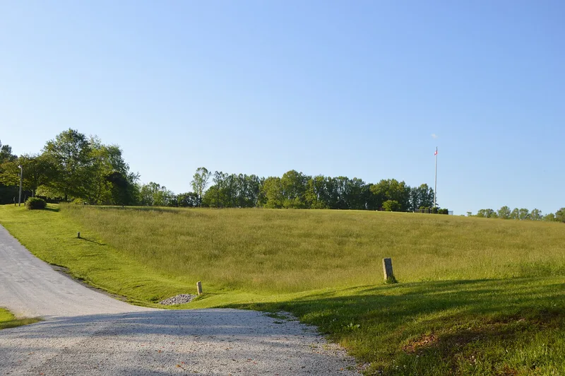
Seventy-one acres of ridge top, wooded bluffs and river bottomland near Ararat, Virginia, mark the place where Confederate cavalry commander James Ewell Brown "Jeb" Stuart was born on February 6, 1833. His father, Archibald Stuart, built a house called Laurel Hill on the farm in 1830. A fire destroyed it in 1847-48 and it was never rebuilt, so today the house survives only as archaeological remains, including a cellar about twenty by sixteen feet. Other surviving features include historic road traces, a fence line and the site of Archibald Stuart's grave. The property was listed for its link to Stuart's childhood, which the nomination presents as the setting where he learned the horsemanship that later served him in the Civil War. It is also recognized for Archibald Stuart's regional political role and for the research value of the farmstead remains. The period of significance runs from about 1820 to 1855. The land is still farmed.
Significance in brief: It is associated with Confederate cavalry general J.E.B. Stuart's birth and formative years, and with his father Archibald Stuart, a regionally important political figure. It also has research potential as the well-preserved remains of an early nineteenth-century farmstead destroyed by fire in 1847-48. The form argues for national significance because of Stuart's prominence.
Machine-generated summary. This summary was generated by a language model from the official nomination document and has not been reviewed line by line by an editor. It may contain errors. Check the source document before relying on any detail. Source: nomination document (PDF) · National Archives catalog entry. NRHP reference 98001161, listed September 24, 1998. Summary generated October 2026 (model claude-sonnet-5-5, prompt v1.0-2026-10-29, confidence high).
Key facts
| Address | N side of VA 773, W of jct. with VA 617, Ararat |
|---|---|
| County | Patrick County |
| Listed | September 24, 1998 |
| Reference number | 98001161 |
| Resource type | Site |
| Period of significance | Ca. 1820-1855 |
| Criteria |
|
| Areas of significance | Historic - Non-Aboriginal, Military |
| Level of significance | National |
| Status (as stated in the nomination) | The Laurel Hill house burned in 1847-48 and only archaeological remains survive. The land remains in agricultural use, with cultivation on the river bottom and cattle pasture on higher ground. A ca. 1930 tenant house is abandoned. |
| Acreage | 71 |
| Coordinates | 36.56343, -80.55327 (NPS GIS) |
What listing means for this property
Sites (archaeological sites, battlefields, landscapes) are often listed with a restricted address to protect them from looting or disturbance. Listing is honorary for private owners; federal undertakings on or near the site go through Section 106 review, and state laws may protect burials and artefacts regardless of listing.
General information, not legal or tax advice. Rules change; confirm with your State Historic Preservation Office or a qualified adviser.
Sources and further reading
- National Park Service, National Register of Historic Places database (snapshot May 2026), reference 98001161.
- Nomination form (PDF, National Archives) — catalog entry
- Wikipedia article (used for cross-checking only; text not reproduced here)
- Wikidata Q6499856
- This listing as JSON
Last updated October 2026. Found an error? See the editorial policy for how to report it.