Colonial National Historical Park
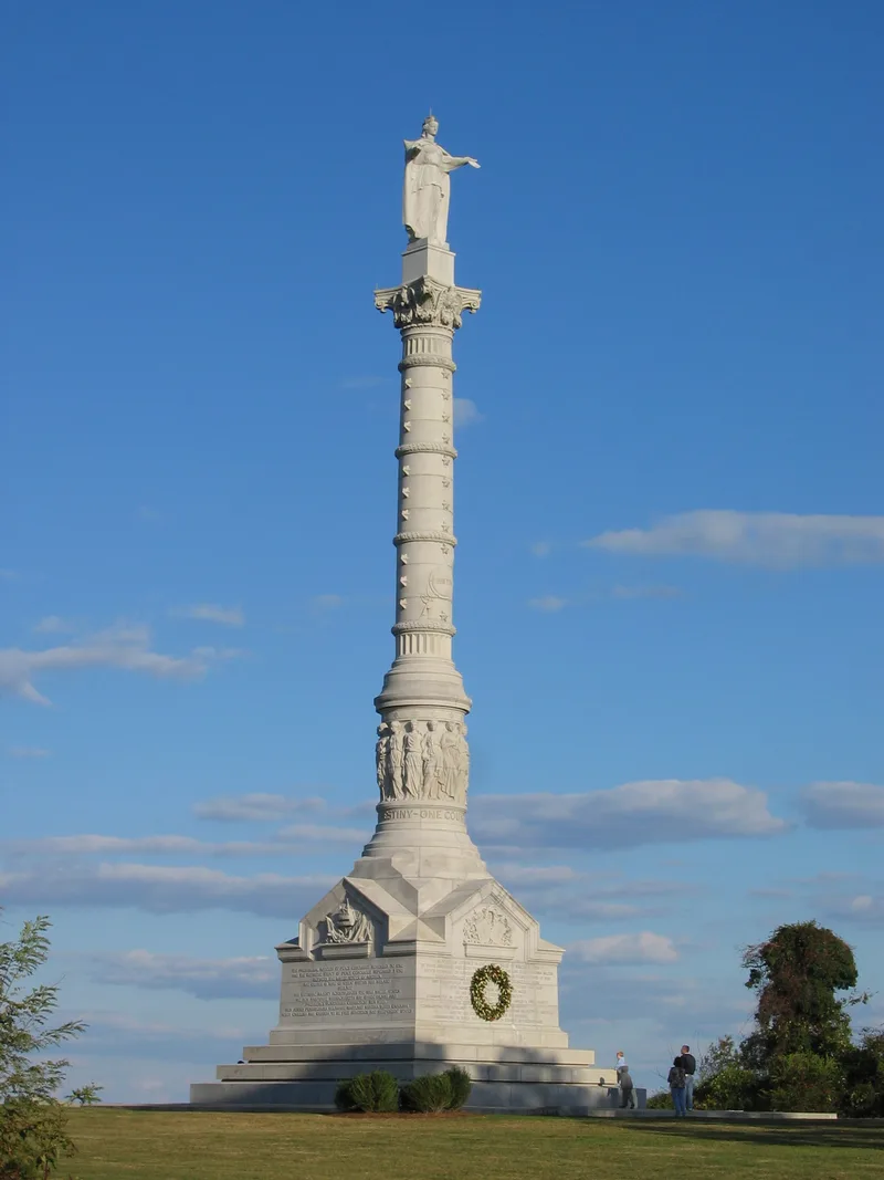

Why it's listed
Colonial Parkway is a 21.44-mile scenic road running between the Yorktown Visitor Center and the Jamestown Visitor Center on Virginia's James-York peninsula. Built between 1931 and 1958 by the National Park Service and the Bureau of Public Roads, it connects Yorktown, Williamsburg and Jamestown within Colonial National Historical Park. The road follows a curving route with wide views over the York and James Rivers. It passes through open river terrain, enclosed forest, brick-arched underpasses and low concrete bridges across tidal marsh. Colonial-style brickwork marks its bridges and culverts, and the pavement used marl exposed by hand sweeping to give a historic look. The parkway was the National Park Service's first attempt to bring its western park road-building methods to an eastern, more developed area. Its emphasis on scenery and detailed landscaping made it a leading example of 1930s parkway design. It keeps its original width, alignment and most views, and is still used as a park road and recreation route.
Significance in brief: The form argues the parkway is a preeminent example of 1930s American parkway design, with an emphasis on scenic views and careful landscaping and construction. It was the first National Park Service effort to apply western park road-building experience to an eastern location, and it retains a very high degree of integrity. It is also significant for conservation, landscape architecture and recreation.
Machine-generated summary. This summary was generated by a language model from the official nomination document and has not been reviewed line by line by an editor. It may contain errors. Check the source document before relying on any detail. Source: nomination document (PDF) · National Archives catalog entry. NRHP reference 66000839, listed October 15, 1966. Summary generated October 2026 (model claude-sonnet-5-5, prompt v1.0-2026-10-29, confidence medium).
Key facts
| Address | VA 359, Jamestown and |
|---|---|
| County | James City County |
| Listed | October 15, 1966 |
| Reference number | 66000839 |
| Resource type | District |
| Period of significance | 1930-1958 |
| Architect / builder | Charles Peterson, Oliver "O.G. Taylor, Stanley Abbott |
| Architectural style | Colonial Revival |
| Criteria |
|
| Areas of significance | Historic - Non-Aboriginal, Military, Exploration/Settlement, Architecture, Maritime History |
| Level of significance | National |
| Status (as stated in the nomination) | The parkway is described as retaining extraordinary integrity, with a few intrusions such as two post-1958 bridges, some concrete swales and modern wooden guard rails. Current function is still park, road-related and outdoor recreation. |
| Acreage | 9316.4 |
| Coordinates | 37.21452, -76.52912 (NPS GIS) |
What listing means for this property
This is a historic district. Buildings within its boundary are either contributing (they add to the district's significance) or non-contributing. Owners of contributing income-producing buildings can claim the 20% federal rehabilitation tax credit; homeowners should look at state credits. National Register districts impose no design review by themselves; a local historic district ordinance, if one exists, does (the difference explained).
General information, not legal or tax advice. Rules change; confirm with your State Historic Preservation Office or a qualified adviser.
Sources and further reading
- National Park Service, National Register of Historic Places database (snapshot May 2026), reference 66000839.
- Nomination form (PDF, National Archives) — catalog entry
- Wikipedia article (used for cross-checking only; text not reproduced here)
- Wikidata Q5148351
- This listing as JSON
Last updated October 2026. Found an error? See the editorial policy for how to report it.