Parker, Col. Josiah, Family Cemetery
Also known as: #046-5049

Why it's listed
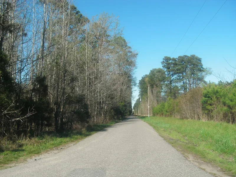
Set in a wooded, overgrown lot off Old Macklesfield Road near Smithfield, Virginia, this quarter-acre family burial ground was rediscovered in 2001. It lies on the former Macclesfield estate, where the Parker family held land going back to 1638. Visible features include a memorial marker naming Colonel Josiah Parker and relatives, the 1789 gravestone of his father Nicholas Parker, and several brick-covered graves, one with an arched brick vault that local tradition links to the Colonel. Parker (1751-1810) commanded Virginia troops at Trenton, Princeton, Brandywine and Germantown, led south-side militia in 1781, and later served in Congress. Family records, church burial entries, a congressional biographical directory, 1810 obituaries and local oral tradition place his burial at Macclesfield. A state archaeologist noted that the brick, mortar and vault style fit an 1810 burial. The cemetery was listed for its association with his life.
Significance in brief: The cemetery is argued to be the burial place of Colonel Josiah Parker (1751-1810), a Revolutionary War officer at Trenton, Princeton, Brandywine and Germantown, later a Virginia congressman. It is said to be the only known surviving tangible reminder of him. Family records, a congressional biographical directory, obituaries and local tradition place his burial there.
Machine-generated summary. This summary was generated by a language model from the official nomination document and has not been reviewed line by line by an editor. It may contain errors. Check the source document before relying on any detail. Source: nomination document (PDF) · National Archives catalog entry. NRHP reference 04000381, listed April 27, 2004. Summary generated October 2026 (model claude-sonnet-5-5, prompt v1.0-2026-10-29, confidence medium).
Key facts
| Address | Approx. 50 yds from jct. of Old Machlesfield Rd. and Macklesfield Ct., Smithfield |
|---|---|
| County | Isle of Wight County |
| Listed | April 27, 2004 |
| Reference number | 04000381 |
| Resource type | Site |
| Period of significance | 1775 - 1810 |
| Architectural style | Other: Family Cemetery |
| Criteria |
|
| Areas of significance | Military, Politics/Government |
| Level of significance | State |
| Status (as stated in the nomination) | Wooded, heavily overgrown, undeveloped lot; described as remarkably well preserved. Current use is forestry/landscape. |
| Acreage | 0.3 |
| Coordinates | 36.97606, -76.53581 (NPS GIS) |
What listing means for this property
Sites (archaeological sites, battlefields, landscapes) are often listed with a restricted address to protect them from looting or disturbance. Listing is honorary for private owners; federal undertakings on or near the site go through Section 106 review, and state laws may protect burials and artefacts regardless of listing.
General information, not legal or tax advice. Rules change; confirm with your State Historic Preservation Office or a qualified adviser.
Sources and further reading
- National Park Service, National Register of Historic Places database (snapshot May 2026), reference 04000381.
- Nomination form (PDF, National Archives) — catalog entry
- Wikipedia article (used for cross-checking only; text not reproduced here)
- Wikidata Q14712199
- This listing as JSON
Last updated October 2026. Found an error? See the editorial policy for how to report it.