Cove, The
Also known as: Vdhr #041-5086
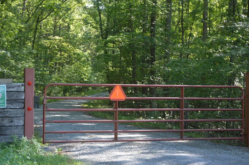

Why it's listed
The Cove is a 1,123-acre plantation in north-central Halifax County, Virginia, set within a horseshoe bend of the Staunton (Roanoke) River. Its oldest standing building is a 1½-story vernacular house with an English basement, built about 1773 for William Sims and his bride, Kezia East Sims. The house grew in three phases: a single-room core built between 1770 and 1810, a hall and parlor added about 1850 with Greek Revival trim, and minor early twentieth-century alterations. Around it are dwellings, barns, log tobacco barns, chimney and foundation ruins believed to mark slave quarters, a well, an icehouse and a gravestone. The property also contains Conner's Midden, an archeological site explored in 1883, 1953 and 1968 that yielded artifacts and burials from a late prehistoric village. Together, the resources document prehistoric settlement, colonial and antebellum plantation life, and later tenant farming. A conservation easement now protects the land, which serves as a wildlife refuge.
Significance in brief: The property preserves evidence of many periods of occupation, from a late prehistoric village site (Conner's Midden) through a colonial settlement, an antebellum plantation and twentieth-century tenant farming. The ca. 1773 house is the oldest standing building and shows three phases of construction. The archeological site is described as holding substantial information about Late Woodland life.
Machine-generated summary. This summary was generated by a language model from the official nomination document and has not been reviewed line by line by an editor. It may contain errors. Check the source document before relying on any detail. Source: nomination document (PDF) · National Archives catalog entry. NRHP reference 06000407, listed May 11, 2006. Summary generated October 2026 (model claude-sonnet-5-5, prompt v1.0-2026-10-29, confidence medium).
Key facts
| Address | 5059 Cove Rd., Harrisburg |
|---|---|
| County | Halifax County |
| Listed | May 11, 2006 |
| Reference number | 06000407 |
| Resource type | Building |
| Architect / builder | Samuel Cobbs, a local carpenter and neighbor, may have built the plantation house. |
| Architectural style | Vernacular; Late 19th and 20th Century Revivals; Modern Movement |
| Areas of significance | Agriculture, Architecture, Prehistoric, Historic - Aboriginal |
| Level of significance | State |
| Status (as stated in the nomination) | The land is protected by a conservation easement and is used as a wildlife refuge. Several outbuildings are ruinous or collapsed. |
| Acreage | 1123 |
| Coordinates | 36.99165, -78.74379 (NPS GIS) |
What listing means for this property
National Register listing is honorary: it recognises significance and does not restrict what a private owner may do without federal money or permits. It unlocks the 20% federal rehabilitation tax credit for income-producing buildings, state credits in many states, and Section 106 review when federal agencies are involved. See what listing means in practice.
General information, not legal or tax advice. Rules change; confirm with your State Historic Preservation Office or a qualified adviser.
Sources and further reading
- National Park Service, National Register of Historic Places database (snapshot May 2026), reference 06000407.
- Nomination form (PDF, National Archives) — catalog entry
- Wikipedia article (used for cross-checking only; text not reproduced here)
- Wikidata Q14713296
- This listing as JSON
Last updated October 2026. Found an error? See the editorial policy for how to report it.