Point Isabel Lighthouse
Also known as: Port Isabel Lighthouse
Why it's listed
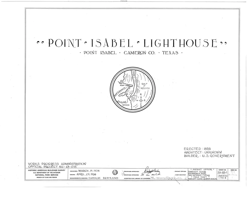
Rising 82 feet above Port Isabel on the Texas Gulf Coast, this brick lighthouse was built in 1852 by the U.S. Treasury Department to guide growing ship traffic through Brazos Santiago Pass near the mouth of the Rio Grande. During the Civil War, soldiers from both sides used it as a lookout, and cannon and musket balls were later found in its walls. The light was refitted in 1866, interrupted in 1888 over a land title dispute, relit in 1895, and extinguished in 1905. It was sold in 1927, then donated to the Texas State Park Board in 1950. The board restored it in 1951 and 1952, adding plaster to the exterior, a concrete platform, and a raised glass dome for visitor access. Today it operates as a state historic park and still works as a navigational aid, making it one of the oldest functioning lighthouses on the Texas coast.
Significance in brief: The nomination argues the lighthouse is one of the oldest functioning lighthouses on the Texas Gulf Coast. It served as a lookout post for both Union and Confederate forces during the Civil War and has aided mariners near the mouth of the Rio Grande for over a century, with some interruptions.
Machine-generated summary. This summary was generated by a language model from the official nomination document and has not been reviewed line by line by an editor. It may contain errors. Check the source document before relying on any detail. Source: nomination document (PDF) · National Archives catalog entry. NRHP reference 76002014, listed April 30, 1976. Summary generated October 2026 (model claude-sonnet-5-5, prompt v1.0-2026-10-29, confidence high).
Key facts
| Address | Off TX 100, Port Isabel |
|---|---|
| County | Cameron County |
| Listed | April 30, 1976 |
| Reference number | 76002014 |
| Resource type | Structure |
| Period of significance | 1800-1899 |
| Architect / builder | U. S. Department of Treasury (construction contract with John Garey of Brownsville) |
| Areas of significance | Transportation, Communications |
| Level of significance | State |
| Status (as stated in the nomination) | Owned by the Texas Parks and Wildlife Department, operated as a state historic park and a functioning navigational aid; restored 1951-52. |
| Acreage | 0.6 |
| Coordinates | 26.07781, -97.20868 (NPS GIS) |
What listing means for this property
For a publicly owned building or structure, listing mainly matters when federal funds, permits or licences are involved: projects then go through Section 106 review so effects on the property are considered. Listing also strengthens applications for preservation grants and, for leased income-producing uses, can enable the federal rehabilitation tax credit.
General information, not legal or tax advice. Rules change; confirm with your State Historic Preservation Office or a qualified adviser.
Sources and further reading
- National Park Service, National Register of Historic Places database (snapshot May 2026), reference 76002014.
- Nomination form (PDF, National Archives) — catalog entry
- Wikipedia article (used for cross-checking only; text not reproduced here)
- Wikidata Q7208052
- This listing as JSON
Last updated October 2026. Found an error? See the editorial policy for how to report it.