Kise Mill Bridge Historic District
Also known as: Mickley's Mill:See Also:Kise Mill Bridge Historic District
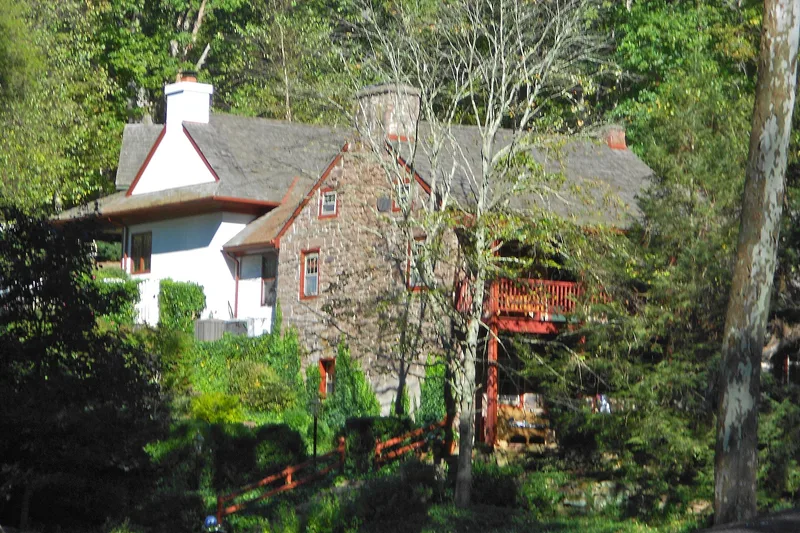

Coordinates come from Wikidata, not the National Park Service; treat the pin as approximate.
Why it's listed
No readable nomination text is available for this listing yet. The facts below come from the National Park Service database and the National Archives record.
Key facts
| Address | Address restricted by the NPS (common for archaeological sites and some private homes) |
|---|---|
| County | York County |
| Listed | October 15, 1980 |
| Reference number | 80003650 |
| Resource type | District |
| Areas of significance | Industry, Historic - Non-Aboriginal, Architecture |
| Level of significance | Local |
| Acreage | 6 |
| Coordinates | 40.11650, -76.81000 (Wikidata) |
What listing means for this property
This is a historic district. Buildings within its boundary are either contributing (they add to the district's significance) or non-contributing. Owners of contributing income-producing buildings can claim the 20% federal rehabilitation tax credit; homeowners should look at state credits. National Register districts impose no design review by themselves; a local historic district ordinance, if one exists, does (the difference explained).
General information, not legal or tax advice. Rules change; confirm with your State Historic Preservation Office or a qualified adviser.
Sources and further reading
- National Park Service, National Register of Historic Places database (snapshot May 2026), reference 80003650.
- Nomination form (PDF, National Archives) — catalog entry
- Wikipedia article (used for cross-checking only; text not reproduced here)
- Wikidata Q6416441
- This listing as JSON
Last updated October 2026. Found an error? See the editorial policy for how to report it.