Pithole City, Site of

Why it's listed
Pithole City was an oil boom town on Pithole Creek, about ten miles southeast of Titusville, Pennsylvania. It was laid out in May 1865 with five hundred building lots and twenty-two streets, and grew quickly with wooden buildings that included two banks, two telegraph offices, a daily paper, a water works, two churches, and many boarding houses and saloons. Its growth followed the drilling of the Frazier well on January 7, 1865, which became the most productive well in the area, and the Homestead well. The town is also linked to the first oil pipeline, which Samuel Van Syckel built five and a half miles to the nearest railroad, carrying oil more cheaply than teamsters could. A series of fires, the failure of the Frazier well in November 1865 and a sharp production decline in January 1866 led to rapid abandonment, and only a handful of residents remained by 1870. The site was cleared and marked with guideposts in 1955.
Significance in brief: The nomination argues the town was a major but brief oil boom community, reaching 10,000 or more inhabitants at its peak in 1865. It is associated with the Frazier well, the Homestead well and the first oil pipeline, built by Samuel Van Syckel to carry oil to the nearest railroad. The site is also presented as a landmark in the history of Pennsylvania's oil industry.
Machine-generated summary. This summary was generated by a language model from the official nomination document and has not been reviewed line by line by an editor. It may contain errors. Check the source document before relying on any detail. Source: nomination document (PDF) · National Archives catalog entry. NRHP reference 73001667, listed March 20, 1973. Summary generated October 2026 (model claude-haiku-5-5, prompt v1.1-2026-10-29, confidence medium).
Key facts
| Address | 10 mi. SE of Titusville, Titusville |
|---|---|
| County | Venango County |
| Listed | March 20, 1973 |
| Reference number | 73001667 |
| Resource type | Site |
| Period of significance | 1865-1870 |
| Areas of significance | Industry |
| Level of significance | State |
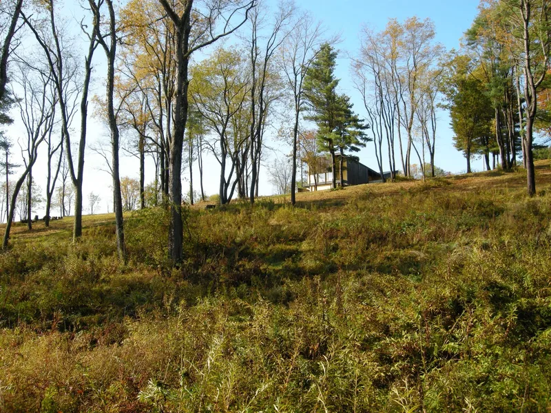
| Status (as stated in the nomination) | Today the site is a series of streets, cellar holes and guide markers; it is owned by the Commonwealth of Pennsylvania. |
| Acreage | 84.7 |
| Coordinates | 41.52113, -79.58697 (NPS GIS) |
What listing means for this property
Sites (archaeological sites, battlefields, landscapes) are often listed with a restricted address to protect them from looting or disturbance. Listing is honorary for private owners; federal undertakings on or near the site go through Section 106 review, and state laws may protect burials and artefacts regardless of listing.
General information, not legal or tax advice. Rules change; confirm with your State Historic Preservation Office or a qualified adviser.
Sources and further reading
- National Park Service, National Register of Historic Places database (snapshot May 2026), reference 73001667.
- Nomination form (PDF, National Archives) — catalog entry
- Wikipedia article (used for cross-checking only; text not reproduced here)
- Wikidata Q3055527
- This listing as JSON
Last updated October 2026. Found an error? See the editorial policy for how to report it.