Annville Historic District
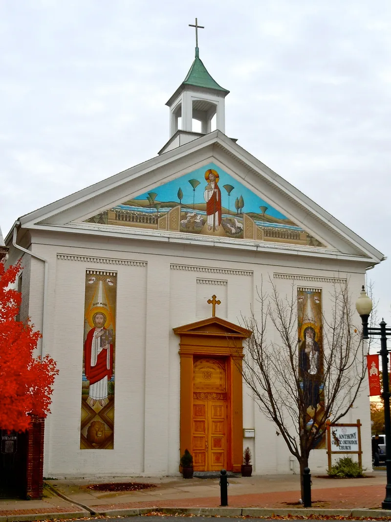

Why it's listed
Annville sits on the north bank of the Quittapahilla Creek, where dammed water power and early grist mills drew settlers in the 1720s. The town was formally laid out in 1763-64 by Andrew Miller, Adam Ulrich and Abraham Raiguel, each of whom platted his section somewhat independently, which left visible street irregularities where the three sectors meet. Lots were 66 by 200 feet, and houses were built close to the street with rear gardens and alleys for barns. The district holds a sequence of building types, from log houses along Queen Street, roughly thirty of which survive, to limestone houses from the late 18th and early 19th centuries, including the Abraham Herr Manor House. Later 19th-century factories, hotels along the Berks-Dauphin Turnpike, and Victorian mansions on East Main Street reflect growth following the railroad and limestone quarrying. The district is significant for its architecture and for documenting this progression of building styles in a Central Pennsylvania town.
Significance in brief: The district is described as an excellent example of a linear community that developed along early roads and waterways. It contains a wide range of architectural styles and building practices common in Central Pennsylvania in the 18th and 19th centuries, and many of its buildings are regarded as outstanding examples of their type.
Machine-generated summary. This summary was generated by a language model from the official nomination document and has not been reviewed line by line by an editor. It may contain errors. Check the source document before relying on any detail. Source: nomination document (PDF) · National Archives catalog entry. NRHP reference 79002285, listed April 30, 1979. Summary generated October 2026 (model claude-haiku-5-5, prompt v1.1-2026-10-29, confidence medium).
Key facts
| Address | Roughly bounded by Quittapahilla Creek, Lebanon, Saylor and Marshall Sts., Annville |
|---|---|
| County | Lebanon County |
| Listed | April 30, 1979 |
| Reference number | 79002285 |
| Resource type | District |
| Period of significance | 1700-1899 |
| Criteria |
|
| Areas of significance | Exploration/Settlement, Architecture |
| Level of significance | State |
| Acreage | 88.5 |
| Coordinates | 40.32913, -76.51381 (NPS GIS) |
What listing means for this property
This is a historic district. Buildings within its boundary are either contributing (they add to the district's significance) or non-contributing. Owners of contributing income-producing buildings can claim the 20% federal rehabilitation tax credit; homeowners should look at state credits. National Register districts impose no design review by themselves; a local historic district ordinance, if one exists, does (the difference explained).
General information, not legal or tax advice. Rules change; confirm with your State Historic Preservation Office or a qualified adviser.
Sources and further reading
- National Park Service, National Register of Historic Places database (snapshot May 2026), reference 79002285.
- Nomination form (PDF, National Archives) — catalog entry
- Wikipedia article (used for cross-checking only; text not reproduced here)
- Wikidata Q4769794
- This listing as JSON
Last updated October 2026. Found an error? See the editorial policy for how to report it.