Hunterstown Historic District
Also known as: See Also:Great Conewego Presbyterian Church

Why it's listed
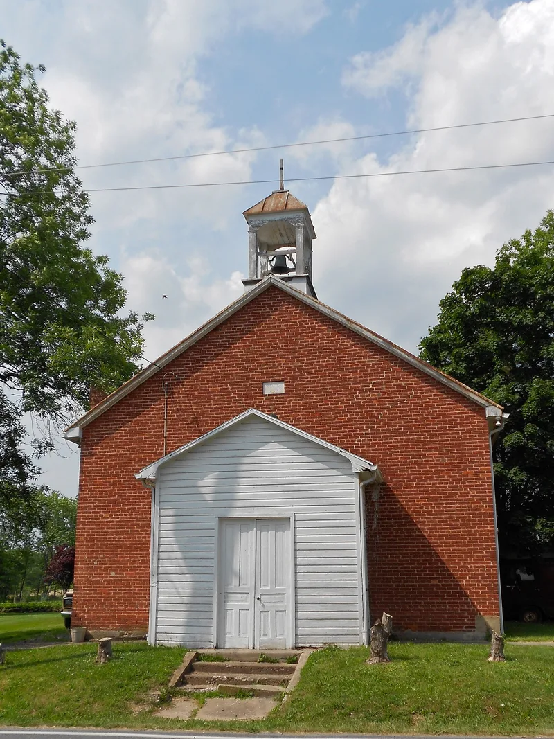
Hunterstown is a small village in Straban Township, Adams County, laid out by David Hunter in 1749 or 1750 under the name Woodstock and renamed in 1800. Of the 53 main structures in the district, 49 lie within the original town perimeters, and many are shown on 1858 and 1872 maps, although most have been altered by additions, siding and new roofing. The Great Conewago Presbyterian Church, a fieldstone building with a 1787 datestone, is the most prominent structure. The village grew into a self-sustaining community with two churches, an academy, two chair factories, three stores and a tavern-hotel before the Civil War. Its residents were involved in the 1863 campaign, and a skirmish took place in the town on July 2 as Confederate forces withdrew toward Gettysburg. The district is regarded as a fine example of an early post village that reached its height from the 1820s to the 1850s.
Significance in brief: The nomination argues that the town is a fine example of an early post village that reached its greatest prosperity between the 1820s and 1850s. It cites the town's role in the French and Indian War, its civic and commercial life before the Civil War, and its involvement in the 1863 Gettysburg campaign, including a skirmish on July 2 and the use of the Great Conewago Church as a hospital afterward.
Machine-generated summary. This summary was generated by a language model from the official nomination document and has not been reviewed line by line by an editor. It may contain errors. Check the source document before relying on any detail. Source: nomination document (PDF) · National Archives catalog entry. NRHP reference 79002154, listed May 15, 1979. Summary generated October 2026 (model claude-haiku-5-5, prompt v1.1-2026-10-29, confidence medium).
Key facts
| Address | PA 394 and Granite Station Rd., Hunterstown |
|---|---|
| County | Adams County |
| Listed | May 15, 1979 |
| Reference number | 79002154 |
| Resource type | District |
| Areas of significance | Military, Architecture |
| Level of significance | Local |
| Acreage | 60 |
| Coordinates | 39.88399, -77.15970 (NPS GIS) |
What listing means for this property
This is a historic district. Buildings within its boundary are either contributing (they add to the district's significance) or non-contributing. Owners of contributing income-producing buildings can claim the 20% federal rehabilitation tax credit; homeowners should look at state credits. National Register districts impose no design review by themselves; a local historic district ordinance, if one exists, does (the difference explained).
General information, not legal or tax advice. Rules change; confirm with your State Historic Preservation Office or a qualified adviser.
Sources and further reading
- National Park Service, National Register of Historic Places database (snapshot May 2026), reference 79002154.
- Nomination form (PDF, National Archives) — catalog entry
- Wikipedia article (used for cross-checking only; text not reproduced here)
- Wikidata Q5944826
- This listing as JSON
Last updated October 2026. Found an error? See the editorial policy for how to report it.