Stumpy Basin
Why it's listed
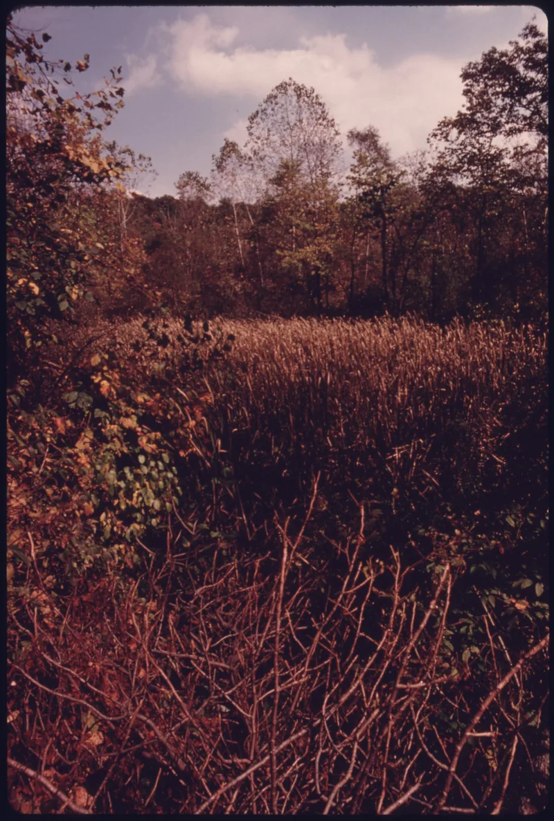
Stumpy Basin is a 30-acre site east of the Cuyahoga River, about half a mile south of the Ohio Turnpike in Boston Township near Peninsula. Built between 1825 and 1827 as part of the Ohio and Erie Canal, it served as a wide-water where canal boats could turn around and take shelter in winter. Today the flat bottom land holds an unusual forest of small trees, with cat-tails growing in the basin itself, which is ringed by steep hillsides. The area is noted for its plant life: more native species grow here than in any area of similar size in Ohio, including rare orchids, Buckeye trees, western prairie plants, and northern species such as hemlock and white pine. Random foundation remains, possibly of canal-related structures, suggest potential for historical archeology. Reachable only on foot, the site is owned by Kent State University and used as an outdoor classroom for ecology students.
Significance in brief: The basin was once used by canal boats as a wide-water turnaround and winter shelter. It is also a unique natural area with more native plant species than any area of similar size in Ohio, including rare orchids, Buckeye trees, western prairie plants and northern species. Scattered foundation remains suggest potential for historical archeology.
Machine-generated summary. This summary was generated by a language model from the official nomination document and has not been reviewed line by line by an editor. It may contain errors. Check the source document before relying on any detail. Source: nomination document (PDF) · National Archives catalog entry. NRHP reference 79000313, listed December 11, 1979. Summary generated October 2026 (model claude-sonnet-5-5, prompt v1.0-2026-10-29, confidence medium).
Key facts
| Address | 200 ft. E of Cuyahoga River and approx. 0.5 mi. S of Ohio Turnpike, Peninsula |
|---|---|
| County | Summit County |
| Listed | December 11, 1979 |
| Reference number | 79000313 |
| Resource type | Site |
| Period of significance | 1825-1827 |
| Areas of significance | Commerce, Transportation, Exploration/Settlement |
| Level of significance | State |
| Status (as stated in the nomination) | Used today as an outdoor classroom for ecology students at Kent State University, as part of the university's natural areas system. Accessible only on foot. |
| Acreage | 30 |
| Coordinates | 41.25257, -81.54578 (NPS GIS) |
What listing means for this property
Sites (archaeological sites, battlefields, landscapes) are often listed with a restricted address to protect them from looting or disturbance. Listing is honorary for private owners; federal undertakings on or near the site go through Section 106 review, and state laws may protect burials and artefacts regardless of listing.
General information, not legal or tax advice. Rules change; confirm with your State Historic Preservation Office or a qualified adviser.
Sources and further reading
- National Park Service, National Register of Historic Places database (snapshot May 2026), reference 79000313.
- Nomination form (PDF, National Archives) — catalog entry
- Wikidata Q49268917
- This listing as JSON
Last updated October 2026. Found an error? See the editorial policy for how to report it.