Gaston's Mill-Lock No. 36, Sandy And Beaver Canal District

Why it's listed
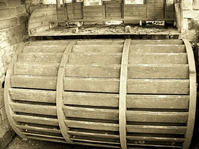
Gaston's Mill and Lock No. 36 sit about 250 feet apart in Beaver Creek State Park near East Liverpool, Ohio. The mill is a three-story, water-powered gristmill with a cut-stone first floor, a frame upper structure of hewn timbers, and two stone grinding buhrs. Samuel Conkle built it around 1837, and it takes its name from Philander Gaston, who owned and operated it longer than anyone else. It ran until World War I and is the last of six mills that once worked between Elkton and Fredericktown. The lock, built of native sandstone, is 130 feet long and 15 feet wide. It is one of 57 on the Eastern Division of the Sandy and Beaver Canal and the only well-preserved one along the 27-mile length. The canal ran from the Ohio River to Bolivar and operated only a few years before railroads replaced it. Restoration of the mill began in 1964. The site is valued for engineering, industry, commerce, transportation, and its record of skilled early workmanship.
Significance in brief: Gaston's Mill is the last of six mills that once operated between Elkton and Fredericktown, and the only one operating in northeastern Ohio. Lock No. 36 is the only well-preserved lock along the 27-mile Eastern Division of the canal. Together they are an educational and historic reminder of the canal era and early transportation.
Machine-generated summary. This summary was generated by a language model from the official nomination document and has not been reviewed line by line by an editor. It may contain errors. Check the source document before relying on any detail. Source: nomination document (PDF) · National Archives catalog entry. NRHP reference 74001423, listed May 23, 1974. Summary generated October 2026 (model claude-sonnet-5-5, prompt v1.0-2026-10-29, confidence high).
Key facts
| Address | About 1 mi. S of Clarkson in Beaver Creek State Forest, Clarkson |
|---|---|
| County | Columbiana County |
| Listed | May 23, 1974 |
| Reference number | 74001423 |
| Resource type | District |
| Period of significance | 19th Century (mill: 1837; lock: 1834-46) |
| Architect / builder | Samuel Conkle (built the mill around 1837) |
| Areas of significance | Commerce, Agriculture, Engineering, Transportation, Architecture |
| Level of significance | Local |
| Status (as stated in the nomination) | Condition marked good and altered. The mill was restored beginning in January 1964, with more work planned, and is state-owned parkland used as a park and museum. The lock was partly filled with silt, and restoration was proposed. |
| Acreage | 12 |
| Coordinates | 40.72736, -80.61264 (NPS GIS) |
What listing means for this property
This is a historic district. Buildings within its boundary are either contributing (they add to the district's significance) or non-contributing. Owners of contributing income-producing buildings can claim the 20% federal rehabilitation tax credit; homeowners should look at state credits. National Register districts impose no design review by themselves; a local historic district ordinance, if one exists, does (the difference explained).
General information, not legal or tax advice. Rules change; confirm with your State Historic Preservation Office or a qualified adviser.
Sources and further reading
- National Park Service, National Register of Historic Places database (snapshot May 2026), reference 74001423.
- Nomination form (PDF, National Archives) — catalog entry
- Wikipedia article (used for cross-checking only; text not reproduced here)
- Wikidata Q5526695
- This listing as JSON
Last updated October 2026. Found an error? See the editorial policy for how to report it.