Cowan Creek Circular Enclosure

Why it's listed
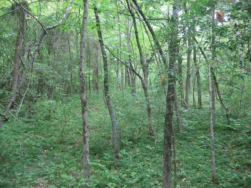
Cowan Creek Circular Enclosure is a prehistoric earthen circle about 90 feet across, located on a bluff-edged promontory on the north side of Cowan Lake in Cowan Creek State Park, Clinton County, Ohio. It was first noticed in 1949 in aerial photographs taken of the nearby Cowan Creek Mound, which was excavated before the reservoir flooded. The mound, about 300 feet away, proved to be Late Adena, with 17 log tombs and a burned house 45 feet in diameter beneath it. The circle sat on higher ground and escaped inundation. Long cultivation reduced its height until it was barely visible, and plant growth now hides it. Similar circles occur beside Adena mounds or house sites elsewhere, including the Green Fort Works in Vinton County. Because of its association with the mound, the enclosure is considered important for understanding Ohio's Adena people. A three-acre area was nominated in case a habitation area is present.
Significance in brief: The enclosure is closely related to the nearby Cowan Creek Mound, a Late Adena site excavated in 1949, and lies about 300 feet from it. Similar circles are noted beside Adena mounds or house sites elsewhere, such as the Green Fort Works in Vinton County. Its link to a mound that was very significant for studying Ohio's Adena people adds to its importance.
Machine-generated summary. This summary was generated by a language model from the official nomination document and has not been reviewed line by line by an editor. It may contain errors. Check the source document before relying on any detail. Source: nomination document (PDF) · National Archives catalog entry. NRHP reference 74001422, listed July 15, 1974. Summary generated October 2026 (model claude-sonnet-5-5, prompt v1.0-2026-10-29, confidence medium).
Key facts
| Address | SW of Wilmington, Wilmington |
|---|---|
| County | Clinton County |
| Listed | July 15, 1974 |
| Reference number | 74001422 |
| Resource type | Site |
| Period of significance | A.D. 100-600 |
| Areas of significance | Prehistoric |
| Level of significance | Local |
| Status (as stated in the nomination) | Condition marked fair and altered; the field was long cultivated and the area is now overgrown with secondary growth, making the site impossible to locate without specific knowledge. No testing has been done. State-owned park land, unoccupied. |
| Acreage | 3 |
| Coordinates | 39.39007, -83.91016 (NPS GIS) |
What listing means for this property
Sites (archaeological sites, battlefields, landscapes) are often listed with a restricted address to protect them from looting or disturbance. Listing is honorary for private owners; federal undertakings on or near the site go through Section 106 review, and state laws may protect burials and artefacts regardless of listing.
General information, not legal or tax advice. Rules change; confirm with your State Historic Preservation Office or a qualified adviser.
Sources and further reading
- National Park Service, National Register of Historic Places database (snapshot May 2026), reference 74001422.
- Nomination form (PDF, National Archives) — catalog entry
- Wikipedia article (used for cross-checking only; text not reproduced here)
- Wikidata Q14653048
- This listing as JSON
Last updated October 2026. Found an error? See the editorial policy for how to report it.