Reed Gold Mine
Also known as: Reed Gold Mine Site

Why it's listed
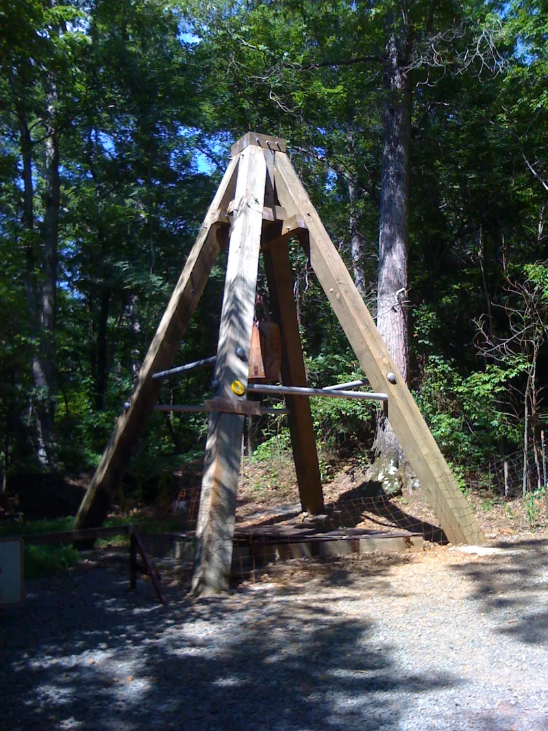
Reed Gold Mine lies in low hills and wooded bottom land along Little Meadow Creek, about 11 miles southeast of Concord, North Carolina. In 1799 twelve-year-old Conrad Reed found a heavy yellow rock on his father John Reed's farm; it was later recognized as gold. Mining began in 1803, first with panning and rockers in the creek sands, then with shafts, stamp mills and Chilean mills. Word of the profits drew thousands of prospectors and set off the country's first gold rush. Through 1828 all native gold coined by the U.S. Mint came from North Carolina. The mine changed hands many times, and large nuggets were found as late as 1896. It closed by 1903. Today tunnels, some 20 shafts and building foundations remain, and only two buildings from about 1905 survive. The State of North Carolina bought the land in 1971 to develop it as a historic and recreation area.
Significance in brief: Gold discovered in 1799 on John Reed's farm led to the earliest documented gold mining operation in the present United States and to the nation's first gold rush. Until 1828 all native gold coined by the U.S. Mint came from North Carolina, largely from Cabarrus and neighboring counties. The Appalachian gold fields created a new industry and trained miners who later worked in the West.
Machine-generated summary. This summary was generated by a language model from the official nomination document and has not been reviewed line by line by an editor. It may contain errors. Check the source document before relying on any detail. Source: nomination document (PDF). NRHP reference 66000587, listed October 15, 1966. Summary generated October 2026 (model claude-sonnet-5-5, prompt v1.0-2026-10-29, confidence medium).
Key facts
| Address | 11 mi. SE of Concord, Concord |
|---|---|
| County | Cabarrus County |
| Listed | October 15, 1966 |
| Reference number | 66000587 |
| Resource type | District |
| Period of significance | 1799, 1803-1903 |
| Areas of significance | Industry, Commerce |
| Level of significance | National |
| National Historic Landmark | Yes, designated May 23, 1966 |
| Status (as stated in the nomination) | Mining ended by 1903. Most equipment was sold for scrap during World War II. The State acquired 822 acres in 1971 and began developing a historic and recreation area; only two buildings from about 1905 survive. |
| Acreage | 810 |
| Coordinates | 35.28319, -80.45883 (NPS GIS) |
What listing means for this property
This is a historic district. Buildings within its boundary are either contributing (they add to the district's significance) or non-contributing. Owners of contributing income-producing buildings can claim the 20% federal rehabilitation tax credit; homeowners should look at state credits. National Register districts impose no design review by themselves; a local historic district ordinance, if one exists, does (the difference explained).
General information, not legal or tax advice. Rules change; confirm with your State Historic Preservation Office or a qualified adviser.
Sources and further reading
- National Park Service, National Register of Historic Places database (snapshot May 2026), reference 66000587.
- Nomination form (PDF, National Archives)
- Wikipedia article (used for cross-checking only; text not reproduced here)
- Wikidata Q7306649
- This listing as JSON
Last updated October 2026. Found an error? See the editorial policy for how to report it.