Bath Historic District
Also known as: See Also:Palmer-Marsh House; Bonner House; St. Thomas Episcopa
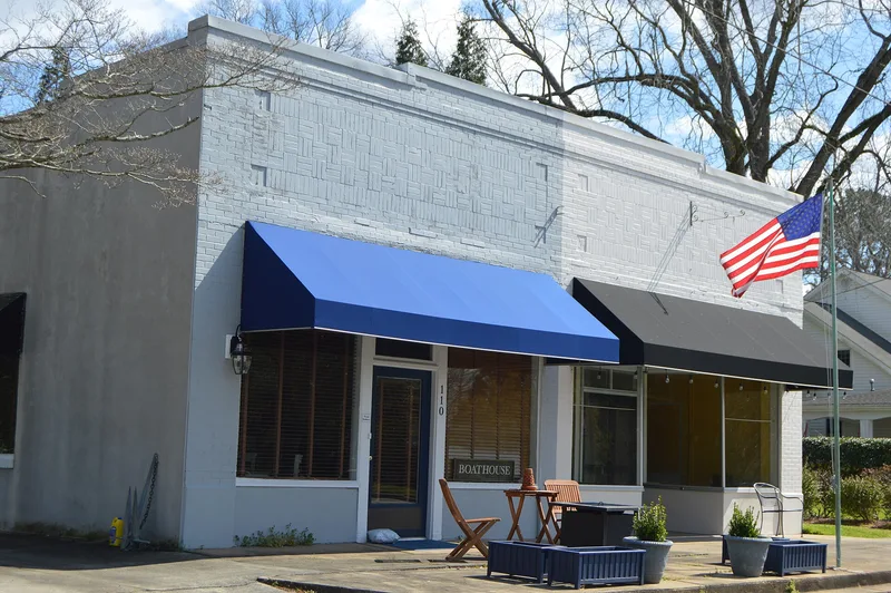

Why it's listed
Bath is a small rural community on a flat point of land between Bath Creek and Back Creek in Beaufort County, North Carolina. Incorporated in 1705, it was laid out, probably by John Lawson, as a triangular village of seventy-one lots with a wide waterfront main street meant for business. Bath became a port of entry in 1715 and served as the colony's principal mart until 1730. The colonial assembly met there in 1744 and 1752, and several early governors and officials lived nearby. Three eighteenth-century buildings survive: St. Thomas Church, begun in 1734 and the oldest church building in continuous use in the state; the Palmer-Marsh House, a two-story brick townhouse of about 1750; and the Van Der Veer House. Nineteenth-century houses such as the Williams (Glebe) and Bonner houses line the quiet, tree-lined streets, which have few modern intrusions. The town declined after Washington became a port and the courthouse moved there in 1785.
Significance in brief: Bath was North Carolina's first incorporated town and an early colonial port of entry, political center and religious center. The district keeps its original town plan and a few surviving eighteenth- and early nineteenth-century buildings, including St. Thomas Church, the oldest church building in the state still in continuous use.
Machine-generated summary. This summary was generated by a language model from the official nomination document and has not been reviewed line by line by an editor. It may contain errors. Check the source document before relying on any detail. Source: nomination document (PDF) · National Archives catalog entry. NRHP reference 70000437, listed February 26, 1970. Summary generated October 2026 (model claude-sonnet-5-5, prompt v1.0-2026-10-29, confidence medium).
Key facts
| Address | Bounded by Bath Creek, NC 92, and King St., Bath |
|---|---|
| County | Beaufort County |
| Listed | February 26, 1970 |
| Reference number | 70000437 |
| Resource type | District |
| Areas of significance | Community Planning and Development, Commerce, Politics/Government, Architecture, Religion |
| Level of significance | State |
| Status (as stated in the nomination) | Condition is given as good and altered. The district is occupied, with present uses including government, commercial, private residence and religious. Restoration of the Van Der Veer House was planned. |
| Acreage | 80 |
| Coordinates | 35.47599, -76.81355 (NPS GIS) |
What listing means for this property
This is a historic district. Buildings within its boundary are either contributing (they add to the district's significance) or non-contributing. Owners of contributing income-producing buildings can claim the 20% federal rehabilitation tax credit; homeowners should look at state credits. National Register districts impose no design review by themselves; a local historic district ordinance, if one exists, does (the difference explained).
General information, not legal or tax advice. Rules change; confirm with your State Historic Preservation Office or a qualified adviser.
Sources and further reading
- National Park Service, National Register of Historic Places database (snapshot May 2026), reference 70000437.
- Nomination form (PDF, National Archives) — catalog entry
- Wikipedia article (used for cross-checking only; text not reproduced here)
- Wikidata Q4868923
- This listing as JSON
Last updated October 2026. Found an error? See the editorial policy for how to report it.