Canisteo Living Sign

Why it's listed
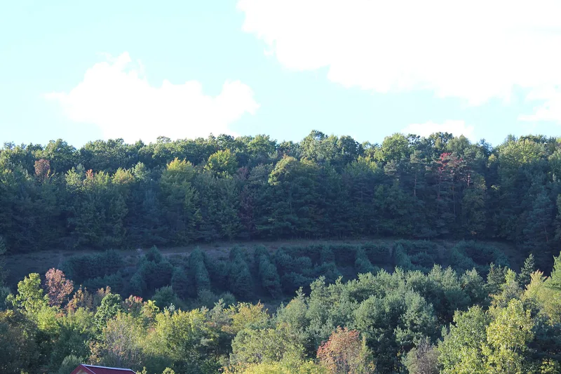
On a hillside just outside the village of Canisteo in Steuben County, New York, 260 pine trees spell out the word "Canisteo" across a plot of less than an acre. Harry C. Smith, a civil engineer, conceived the idea and laid out the letters in 1933. His brother-in-law Edwin Childs supplied the land. In 1934 residents and Boy Scouts planted about 750 Scotch pine seedlings, which were later thinned to the present 260. The project gave residents a shared undertaking during the Great Depression and drew visitors, including a 1938 mention in Robert Ripley's "Believe It or Not" column. Smith also intended it as a visual marker for pilots, and it later served as a visual flight checkpoint and a reference point on the regional flight path. Military aircrews still use it for low-level training. The Canisteo school district bought the hillside in 1957 and agreed to care for the sign permanently, and a community committee supports its upkeep.
Significance in brief: The sign is significant under Criterion A for its role in the village's identity and in the aviation history of New York's Southern Tier, where it served as a visual navigation marker for pilots. It is significant under Criterion C for its design and unusual living construction material. It retains a high degree of integrity, with only minor landscaping changes around the perimeter.
Machine-generated summary. This summary was generated by a language model from the official nomination document and has not been reviewed line by line by an editor. It may contain errors. Check the source document before relying on any detail. Source: nomination document (PDF) · National Archives catalog entry. NRHP reference 04000707, listed July 16, 2004. Summary generated October 2026 (model claude-sonnet-5-5, prompt v1.0-2026-10-29, confidence high).
Key facts
| Address | SE side of hill, N of Cemetery Rd. off Greenwood St., Canisteo |
|---|---|
| County | Steuben County |
| Listed | July 16, 2004 |
| Reference number | 04000707 |
| Resource type | Site |
| Period of significance | 1933-1954 |
| Architect / builder | Harry C. Smith; Edwin M. Childs |
| Criteria |
|
| Areas of significance | Transportation, Landscape Architecture |
| Level of significance | Local |
| Status (as stated in the nomination) | Maintained by the Canisteo Central School District, which owns the land and has cared for the sign under a 1957 deed covenant; all 260 trees survive and are about 10-12 feet tall. |
| Acreage | 0.9 |
| Coordinates | 42.26663, -77.61442 (NPS GIS) |
What listing means for this property
Sites (archaeological sites, battlefields, landscapes) are often listed with a restricted address to protect them from looting or disturbance. Listing is honorary for private owners; federal undertakings on or near the site go through Section 106 review, and state laws may protect burials and artefacts regardless of listing.
General information, not legal or tax advice. Rules change; confirm with your State Historic Preservation Office or a qualified adviser.
Sources and further reading
- National Park Service, National Register of Historic Places database (snapshot May 2026), reference 04000707.
- Nomination form (PDF, National Archives) — catalog entry
- Wikipedia article (used for cross-checking only; text not reproduced here)
- Wikidata Q5032457
- This listing as JSON
Last updated October 2026. Found an error? See the editorial policy for how to report it.