Oriskany Battlefield

Why it's listed
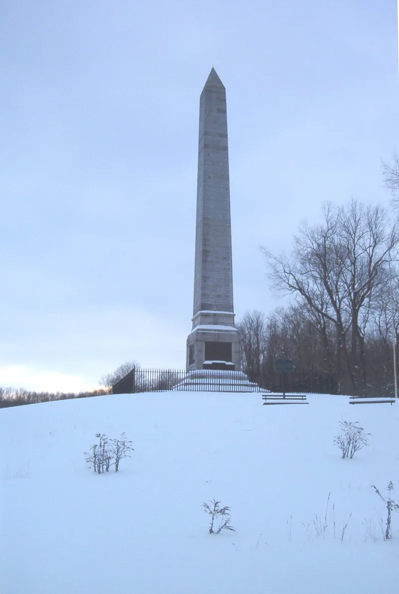
Oriskany Battlefield is an 87-acre state park on State Route 69, west of the village of Oriskany in Oneida County, New York. It preserves the ground where, on August 6, 1777, about 800 Tryon County militiamen under General Nicholas Herkimer were ambushed by Loyalists and Indians while marching to relieve Fort Stanwix. The ravine and Battle Brook still follow their original course, though the forest of 1777 has been replaced by lawn. Markers show the line of the Revolutionary road, the beech tree site where Herkimer directed his men, and an obelisk monument. The militia did not reach the fort, but the fierce fight inflicted heavy losses on both sides. Herkimer died of his wounds. A sortie from the fort damaged the British camps, and the strain on St. Leger's force contributed to the failure of the British advance through the Mohawk Valley. The nominated boundary protects both the battlefield and the area where the ambushers lay.
Significance in brief: The Battle of Oriskany, fought August 6, 1777, was a bloody ambush of American militia marching to relieve besieged Fort Stanwix. The militia lost the field but showed courage, and the losses and the patriot resistance drained the British expedition under St. Leger. The battlefield, including Battle Brook and the marshy ravine where the ambush occurred, remains readily recognizable.
Machine-generated summary. This summary was generated by a language model from the official nomination document and has not been reviewed line by line by an editor. It may contain errors. Check the source document before relying on any detail. Source: nomination document (PDF) · National Archives catalog entry. NRHP reference 66000558, listed October 15, 1966. Summary generated October 2026 (model claude-sonnet-5-5, prompt v1.0-2026-10-29, confidence medium).
Key facts
| Address | 5 mi. E of Rome on NY 69, Rome |
|---|---|
| County | Oneida County |
| Listed | October 15, 1966 |
| Reference number | 66000558 |
| Resource type | Site |
| Period of significance | 1700-1799 (specific date August 6, 1777) |
| Areas of significance | Military |
| Level of significance | National |
| National Historic Landmark | Yes, designated November 23, 1962 |
| Status (as stated in the nomination) | State-owned park, kept as lawn, with a visitors center, two garages or workshops, an obelisk, markers and an Unknown Soldier Memorial; the structures do not contribute to the site's significance. |
| Acreage | 70 |
| Coordinates | 43.17780, -75.36891 (NPS GIS) |
What listing means for this property
Sites (archaeological sites, battlefields, landscapes) are often listed with a restricted address to protect them from looting or disturbance. Listing is honorary for private owners; federal undertakings on or near the site go through Section 106 review, and state laws may protect burials and artefacts regardless of listing.
General information, not legal or tax advice. Rules change; confirm with your State Historic Preservation Office or a qualified adviser.
Sources and further reading
- National Park Service, National Register of Historic Places database (snapshot May 2026), reference 66000558.
- Nomination form (PDF, National Archives) — catalog entry
- Wikipedia article (used for cross-checking only; text not reproduced here)
- Wikidata Q7102831
- This listing as JSON
Last updated October 2026. Found an error? See the editorial policy for how to report it.