Onesquethaw Valley Historic District

Why it's listed
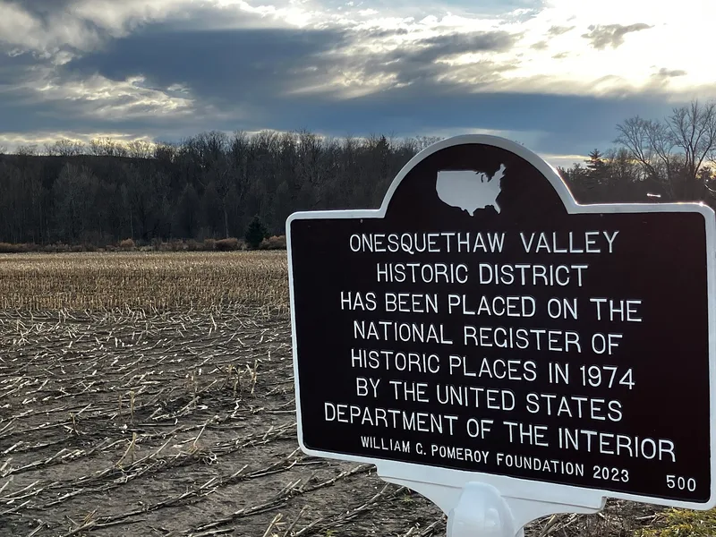
Onesquethaw Valley is a farming district of about 3,400 acres along Onesquethaw Creek, around 10 miles south of Albany. It lies mostly in New Scotland, with small portions in Bethlehem and Coeymans. About 25 houses with farm buildings, plus archeological sites, are scattered across open fields and woodland. Eight eighteenth-century stone houses are the architectural centerpiece; most face the creek rather than the present roads, and five share a similar form of one and a half stories, five bays and a centered doorway. Other buildings include Greek Revival and Victorian farmhouses, Dutch barns, mill sites and a small cemetery. The settlement traces to a 1685 patent to Teunis Slingerlandt and Johannes Appel, and an early survey map of 1719 shows houses that survive in part today. Residents were prominent in Tory activity during the Revolutionary War. Descendants of the LaGrange, Winne and Slingerland families still farm the creek flats, giving the valley a continuous link to its colonial past.
Significance in brief: The district preserves archeological and architectural evidence of a self-contained agricultural community, still farmed today. Its eight eighteenth-century stone houses in close proximity are noted as architecturally special. The valley is described as a visual record of eighteenth-century settlement, social structure and land use, tied to a 1685 patent granted to Teunis Slingerlandt and Johannes Appel.
Machine-generated summary. This summary was generated by a language model from the official nomination document and has not been reviewed line by line by an editor. It may contain errors. Check the source document before relying on any detail. Source: nomination document (PDF) · National Archives catalog entry. NRHP reference 74001216, listed January 17, 1974. Summary generated October 2026 (model claude-sonnet-5-5, prompt v1.0-2026-10-29, confidence medium).
Key facts
| Address | About 10 mi. SW of Albany off NY 43, Albany |
|---|---|
| County | Albany County |
| Listed | January 17, 1974 |
| Reference number | 74001216 |
| Resource type | District |
| Architectural style | Dutch-influenced eighteenth-century stone farmhouses, with Greek Revival and Victorian farmhouses of the nineteenth century |
| Areas of significance | Prehistoric, Historic - Non-Aboriginal, Politics/Government, Architecture |
| Level of significance | State |
| Status (as stated in the nomination) | Valley flats are still extensively farmed; condition is marked as ranging from excellent to deteriorated, with some buildings ruinous. |
| Acreage | 3410 |
| Coordinates | 42.55599, -73.90383 (NPS GIS) |
What listing means for this property
This is a historic district. Buildings within its boundary are either contributing (they add to the district's significance) or non-contributing. Owners of contributing income-producing buildings can claim the 20% federal rehabilitation tax credit; homeowners should look at state credits. National Register districts impose no design review by themselves; a local historic district ordinance, if one exists, does (the difference explained).
General information, not legal or tax advice. Rules change; confirm with your State Historic Preservation Office or a qualified adviser.
Sources and further reading
- National Park Service, National Register of Historic Places database (snapshot May 2026), reference 74001216.
- Nomination form (PDF, National Archives) — catalog entry
- Wikipedia article (used for cross-checking only; text not reproduced here)
- Wikidata Q7093759
- This listing as JSON
Last updated October 2026. Found an error? See the editorial policy for how to report it.