Shelburne Falls Historic District (Boundary Increase 2010)
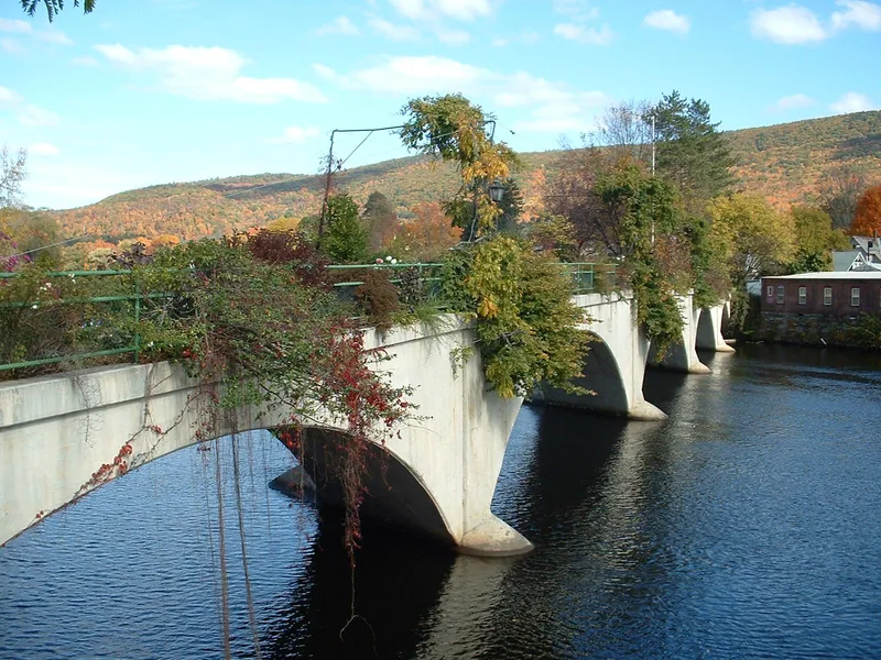

Why it's listed
This neighborhood of about 163 acres in Shelburne, Massachusetts, lies northeast of the original Shelburne Falls historic core and extends the district to include its largely residential surroundings. It contains 360 resources, mostly modest wood-frame houses with connected barns, along with churches, former schools, a lodge hall, a gymnasium and the 31.6-acre Arms Cemetery. Contributing buildings date from about 1784 to the 1950s, with most built between 1850 and 1900, when the village was prospering. Greek Revival, Italianate and Queen Anne styles predominate. The area is tied to local industry and invention. Lockmaker Linus Yale Jr. bought a Gothic Revival house at 3 South Maple Street, Joseph W. Gardner held patents for cutlery improvements, and Jonas King Patch operated a photography business from the district. Mayhew tool manufacturing also left its mark on the area. The district was extended because it preserves the character of a dense, 19th-century industrial village.
Significance in brief: The expansion area keeps the look of a densely settled industrial village, with houses, churches, schools and a cemetery that reflect the village's peak prosperity from about 1850 to 1900. It also holds homes tied to local inventors, manufacturers and tradespeople, including lockmaker Linus Yale Jr. and photographer Jonas King Patch.
Machine-generated summary. This summary was generated by a language model from the official nomination document and has not been reviewed line by line by an editor. It may contain errors. Check the source document before relying on any detail. Source: nomination document (PDF) · National Archives catalog entry. NRHP reference 10000161, listed April 7, 2010. Summary generated October 2026 (model claude-sonnet-5-5, prompt v1.0-2026-10-29, confidence medium).
Key facts
| Address | roughly bounded by Deerfield River, Bridge St., MA Route 2 and Arms Cemetery, Shelburne |
|---|---|
| County | Franklin County |
| Listed | April 7, 2010 |
| Reference number | 10000161 |
| Resource type | District |
| Period of significance | ca. 1784-1960 |
| Architect / builder | Harry L. Sprague (Congregational Church, 1928); Arthur Elbridge (Cowell Gymnasium, 1937); Jonas King Patch built his own house at 5 Maple Street |
| Architectural style | Federal, Greek Revival, Gothic Revival, Octagon Mode, Italianate, Victorian Gothic, Second Empire, Queen Anne, Colonial Revival, Craftsman |
| Areas of significance | Architecture, Community Planning and Development, Industry |
| Level of significance | Local |
| Status (as stated in the nomination) | Buildings are described as generally in good condition. Some properties are vacant, including the Sweetheart Restaurant and several industrial buildings on Deerfield Avenue. Other institutional buildings have been reused. |
| Acreage | 163 |
| Coordinates | 42.60932, -72.73474 (NPS GIS) |
What listing means for this property
This is a historic district. Buildings within its boundary are either contributing (they add to the district's significance) or non-contributing. Owners of contributing income-producing buildings can claim the 20% federal rehabilitation tax credit; homeowners should look at state credits. National Register districts impose no design review by themselves; a local historic district ordinance, if one exists, does (the difference explained).
General information, not legal or tax advice. Rules change; confirm with your State Historic Preservation Office or a qualified adviser.
Sources and further reading
- National Park Service, National Register of Historic Places database (snapshot May 2026), reference 10000161.
- Nomination form (PDF, National Archives) — catalog entry
- Wikipedia article (used for cross-checking only; text not reproduced here)
- Wikidata Q7493324
- This listing as JSON
Last updated October 2026. Found an error? See the editorial policy for how to report it.