Heath Center Historic District (Boundary Increase)

Coordinates come from Wikidata, not the National Park Service; treat the pin as approximate.
Why it's listed
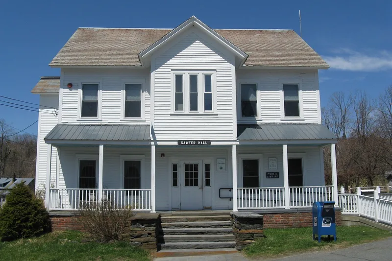
Heath Center is the historic heart of a hill town in northern Franklin County, Massachusetts, set on a high plateau with long views south toward the Deerfield River valley. The district includes the town common laid out in 1787, the Old Town House of 1834-35, a two-acre cemetery with gravestones from 1799 onward, churches, a school, and a cluster of houses and farm buildings. Federal-style houses are the best-represented type, including the brick Miller House of 1804 and the large Strong House of 1791-97, along with Greek Revival, Italianate, Queen Anne and Colonial Revival buildings. The Center reached its highest population around 1832, with about 1,200 residents, then declined as young people left. The town lacked waterpower, railroads and good farmland, so little industry developed. That slow change helped preserve the early buildings, and the district was listed for its architecture and its record of a rural New England community. Seventy-five resources contribute to the district's character.
Significance in brief: The district preserves the civic, religious, residential and agricultural core of a hill town laid out around a 1787 common and meetinghouse lot. It has a strong collection of Federal-style houses and later Greek Revival, Italianate, Queen Anne and Colonial Revival buildings. The form also traces the town's peak around 1832 and its later population decline, shaped by high altitude, thin soils and no railroad.
Machine-generated summary. This summary was generated by a language model from the official nomination document and has not been reviewed line by line by an editor. It may contain errors. Check the source document before relying on any detail. Source: nomination document (PDF) · National Archives catalog entry. NRHP reference 100001503, listed August 24, 2017. Summary generated October 2026 (model claude-sonnet-5-5, prompt v1.0-2026-10-29, confidence medium).
Key facts
| Address | 44 Hosmer Rd. W., 55 & 59 South R. & Heath Fairgrounds on Colrain Stage & Hosmer Rd. W., Heath |
|---|---|
| County | Franklin County |
| Listed | August 24, 2017 |
| Reference number | 100001503 |
| Resource type | District |
| Architectural style | Federal; Greek Revival; Gothic Revival; Italianate; Queen Anne; Colonial Revival; Bungalow/Craftsman |
| Areas of significance | Agriculture, Architecture, Community Planning and Development |
| Level of significance | Local |
| Status (as stated in the nomination) | Many houses remain in residential use; the common, church, town hall and cemetery continue their historic functions. The form lists current uses of house, meeting hall, town hall/post office, church, monument and agricultural fields and barns. |
| Acreage | 215.42 |
| Coordinates | 42.67340, -72.82180 (Wikidata) |
What listing means for this property
This is a historic district. Buildings within its boundary are either contributing (they add to the district's significance) or non-contributing. Owners of contributing income-producing buildings can claim the 20% federal rehabilitation tax credit; homeowners should look at state credits. National Register districts impose no design review by themselves; a local historic district ordinance, if one exists, does (the difference explained).
General information, not legal or tax advice. Rules change; confirm with your State Historic Preservation Office or a qualified adviser.
Sources and further reading
- National Park Service, National Register of Historic Places database (snapshot May 2026), reference 100001503.
- Nomination form (PDF, National Archives) — catalog entry
- Wikipedia article (used for cross-checking only; text not reproduced here)
- Wikidata Q14715527
- This listing as JSON
Last updated October 2026. Found an error? See the editorial policy for how to report it.