Edgartown Village Historic District
Also known as: Downtown Edgartown

Why it's listed
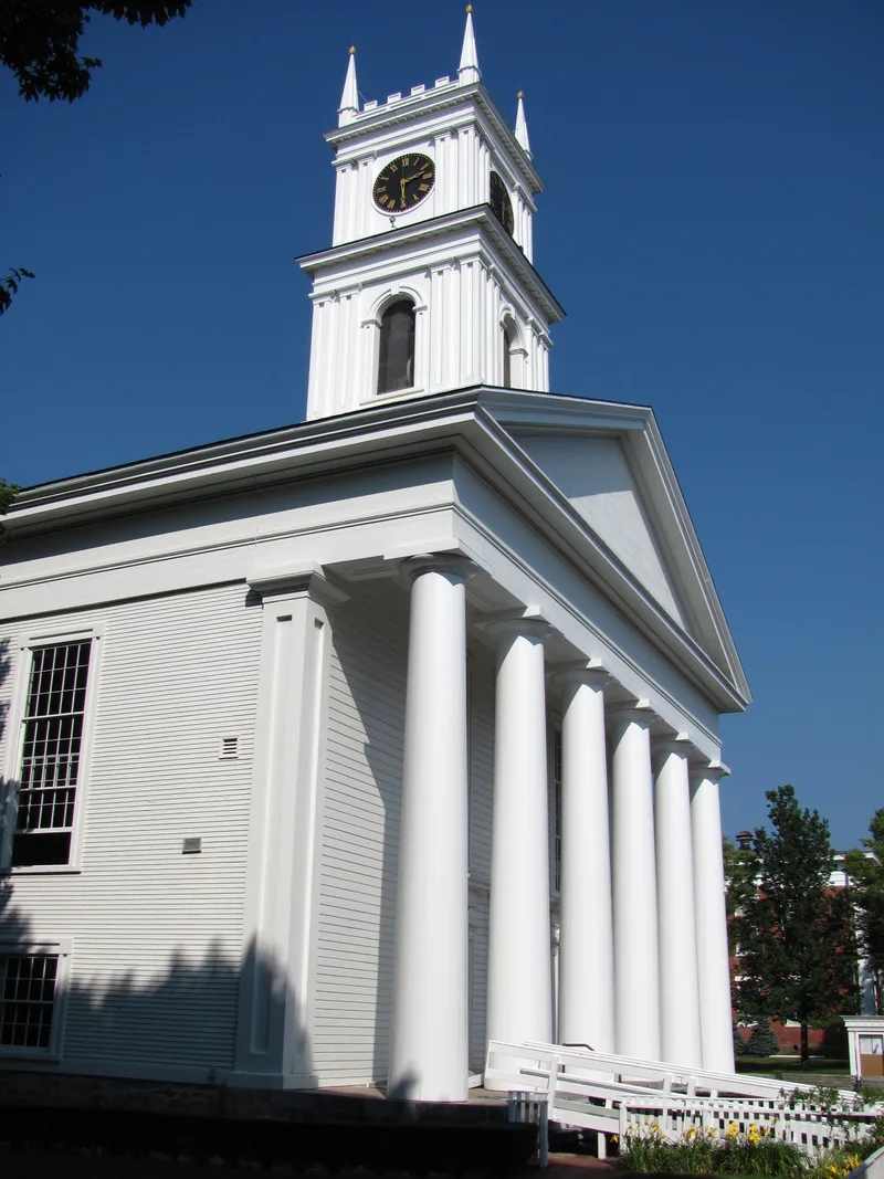
Edgartown Village is a compact harbor-side district of about 150 acres on the west shore of Edgartown Harbor, on Martha's Vineyard. Roughly 500 buildings stand closely together on small lots, many bordered by white picket fences along narrow, tree-lined streets. Most are wood-frame houses of the 19th and early 20th centuries, built of post-and-beam construction and finished in white-painted clapboard or shingle; only five are brick. The street pattern is a modified grid that curves with the shoreline and traces back to the 1650s, when long rectangular water lots were laid out for the island's settlers. East-west streets such as Main, Cooke, High and Winter follow the side lines of those early lots, while Water Street and Pease's Point Way began as routes to planting fields and the waterfront. Inventory sheets record Federalist, Greek Revival, mid-Victorian and Arts & Crafts buildings. About 77 later buildings are classed as intrusions.
Significance in brief: The surviving text emphasizes a village whose street grid preserves the 1650s division of water lots among the island's settlers. It also retains a dense, largely intact stock of timber-frame buildings from the 18th to early 20th centuries. The statement of significance and criteria are not included in the excerpt provided.
Machine-generated summary. This summary was generated by a language model from the official nomination document and has not been reviewed line by line by an editor. It may contain errors. Check the source document before relying on any detail. Source: nomination document (PDF) · National Archives catalog entry. NRHP reference 83003967, listed December 9, 1983. Summary generated October 2026 (model claude-sonnet-5-5, prompt v1.0-2026-10-29, confidence medium).
Key facts
| Address | Bounded by Water St. (North and South) and Pease's Point Way(North and South), Edgartown |
|---|---|
| County | Dukes County |
| Listed | December 9, 1983 |
| Reference number | 83003967 |
| Resource type | District |
| Architect / builder | Frederick Baylis, architect of the former Baptist Church (1839), is named in the data sheets |
| Architectural style | Mainly Federalist, Greek Revival and central-chimney timber-frame houses, with mid-Victorian, Queen Anne and Arts & Crafts examples |
| Areas of significance | Industry, Entertainment/Recreation, Exploration/Settlement, Architecture, Maritime History |
| Level of significance | State, Local |
| Status (as stated in the nomination) | The district is described as in excellent condition and unaltered, with about 77 intrusions built after 1933. It remains in mixed residential, commercial, educational, religious, museum and government use. |
| Acreage | 130.2 |
| Coordinates | 41.39043, -70.51469 (NPS GIS) |
What listing means for this property
This is a historic district. Buildings within its boundary are either contributing (they add to the district's significance) or non-contributing. Owners of contributing income-producing buildings can claim the 20% federal rehabilitation tax credit; homeowners should look at state credits. National Register districts impose no design review by themselves; a local historic district ordinance, if one exists, does (the difference explained).
General information, not legal or tax advice. Rules change; confirm with your State Historic Preservation Office or a qualified adviser.
Sources and further reading
- National Park Service, National Register of Historic Places database (snapshot May 2026), reference 83003967.
- Nomination form (PDF, National Archives) — catalog entry
- Wikipedia article (used for cross-checking only; text not reproduced here)
- Wikidata Q5337611
- This listing as JSON
Last updated October 2026. Found an error? See the editorial policy for how to report it.