Farm Creek Section
Also known as: Farm Creek/Farmdale Geologic Exposure

Why it's listed
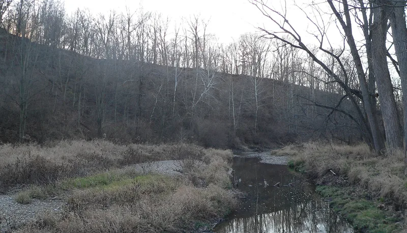
Farm Creek Section is a natural geological exposure in a stream bank on the south side of Farm Creek near East Peoria, Illinois. About 100 feet high and 225 feet long, it reveals layers of Pleistocene sediment, including loess, glacial till, outwash gravels and buried soils. Glacial geologist Frank Leverett discovered it in 1897 and described it in his monograph on the Illinois glacial lobe. The site helped settle a debate over whether ice retreats were brief or prolonged, informed the naming of the Sangamon Soil and the Peorian stage, and supplied evidence that loess was windblown. It serves as the type section for the Farmdalian Substage, Robein Silt, Morton Loess and Farmdale Soil. The exposure has changed little in nearly a century and remains a reference point for researchers and field trips. It sits within a federal flood control and recreation area and is reachable by an unpaved road.
Significance in brief: The exposure played a key role in developing theories of Pleistocene continental glaciation, including multiple glaciations, interstadial climate changes, the origin of loess and buried soils. It is tied to geologist Frank Leverett, who discovered it in 1897. It remains a type reference section and may yield future research information.
Machine-generated summary. This summary was generated by a language model from the official nomination document and has not been reviewed line by line by an editor. It may contain errors. Check the source document before relying on any detail. Source: nomination document (PDF) · National Archives catalog entry. NRHP reference 91002039, listed February 6, 1992. Summary generated October 2026 (model claude-sonnet-5-5, prompt v1.0-2026-10-29, confidence high).
Key facts
| Address | S side of Farm Cr., East Peoria |
|---|---|
| County | Tazewell County |
| Listed | February 6, 1992 |
| Reference number | 91002039 |
| Resource type | Site |
| Period of significance | 1897-1941 |
| Criteria |
|
| Areas of significance | Science |
| Level of significance | National |
| National Historic Landmark | Yes, designated December 9, 1997 |
| Status (as stated in the nomination) | Described as virtually unchanged since its discovery, readily accessible by vehicle or on foot, and still visited by geologists and students. |
| Acreage | 15 |
| Coordinates | 40.67729, -89.48982 (NPS GIS) |
What listing means for this property
Sites (archaeological sites, battlefields, landscapes) are often listed with a restricted address to protect them from looting or disturbance. Listing is honorary for private owners; federal undertakings on or near the site go through Section 106 review, and state laws may protect burials and artefacts regardless of listing.
General information, not legal or tax advice. Rules change; confirm with your State Historic Preservation Office or a qualified adviser.
Sources and further reading
- National Park Service, National Register of Historic Places database (snapshot May 2026), reference 91002039.
- Nomination form (PDF, National Archives) — catalog entry
- Wikipedia article (used for cross-checking only; text not reproduced here)
- Wikidata Q5435493
- This listing as JSON
Last updated October 2026. Found an error? See the editorial policy for how to report it.