Lunsford-Pulcher Archeological Site
Also known as: S-40 Illinois Archeological Survey Number

Why it's listed
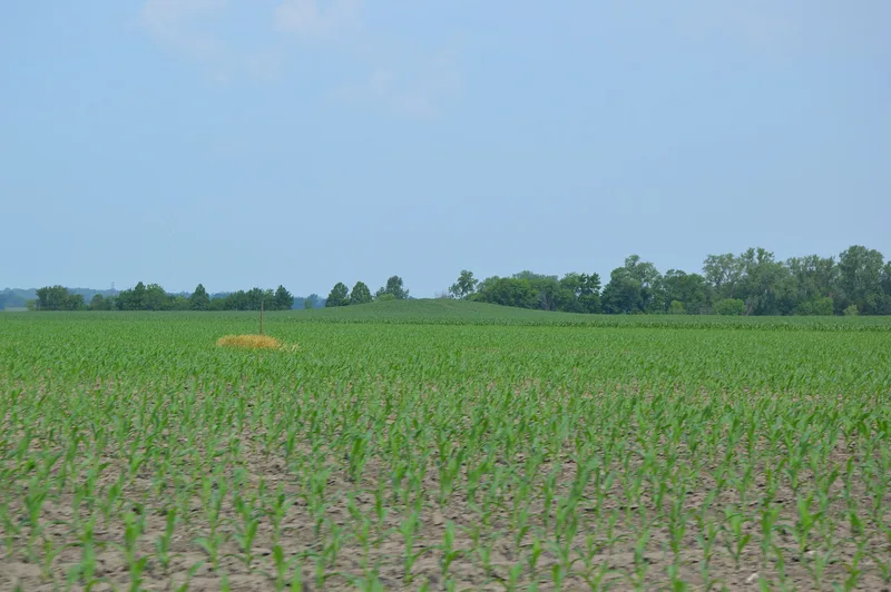
Lunsford-Pulcher is an archeological site south of Dupo, Illinois, made up of Mississippian temple mounds and an adjoining village area. It appears to have been a satellite town of Cahokia, the center of Mississippian culture in the American Bottoms. The nomination describes it as the only Middle Mississippian town site left in that region. Aerial photographs show possible garden beds and stained areas that may mark house structures, and few Mississippian sites in the country have preserved evidence of prehistoric garden plots. Test excavations in 1950 and the early 1960s found village debris and refuse pits. The site was mapped by Collot in 1796 and visited by George Rogers Clark. A house built in 1825 by Adam Snyder sits on the central mound; Dr. John Francis Snyder spent his first three years there. Farming has lowered some mounds and a railroad destroyed two, but the village remains well preserved. Planned Interstate 255 and suburban growth were seen as serious threats.
Significance in brief: The nomination calls it the only Middle Mississippian town site remaining in the American Bottoms, serving as a satellite community to Cahokia. It is one of few Mississippian sites in the United States where prehistoric garden plots have been noted. The 1825 Snyder house is also among the oldest standing structures in this part of Illinois.
Machine-generated summary. This summary was generated by a language model from the official nomination document and has not been reviewed line by line by an editor. It may contain errors. Check the source document before relying on any detail. Source: nomination document (PDF) · National Archives catalog entry. NRHP reference 73000712, listed July 23, 1973. Summary generated October 2026 (model claude-sonnet-5-5, prompt v1.0-2026-10-29, confidence medium).
Key facts
| Address | Address restricted by the NPS (common for archaeological sites and some private homes) |
|---|---|
| County | Monroe County |
| Listed | July 23, 1973 |
| Reference number | 73000712 |
| Resource type | Site |
| Period of significance | AD 600-1200 (site); 1825 (house) |
| Architect / builder | Adam W. Snyder (house, 1825) |
| Areas of significance | Prehistoric, Architecture |
| Level of significance | National |
| Status (as stated in the nomination) | Site described as well preserved and largely open farmland, though partly cultivated, topped mounds, and threatened by planned interstate highway construction and urban expansion. The Snyder house is in good condition and modernized. |
| Acreage | 340 |
| Coordinates | 38.49440, -90.23110 (Wikidata) |
What listing means for this property
Sites (archaeological sites, battlefields, landscapes) are often listed with a restricted address to protect them from looting or disturbance. Listing is honorary for private owners; federal undertakings on or near the site go through Section 106 review, and state laws may protect burials and artefacts regardless of listing.
General information, not legal or tax advice. Rules change; confirm with your State Historic Preservation Office or a qualified adviser.
Sources and further reading
- National Park Service, National Register of Historic Places database (snapshot May 2026), reference 73000712.
- Nomination form (PDF, National Archives) — catalog entry
- Wikipedia article (used for cross-checking only; text not reproduced here)
- Wikidata Q16894384
- This listing as JSON
Last updated October 2026. Found an error? See the editorial policy for how to report it.