Millville Town Site
Also known as: IAS Site 11JD142

Why it's listed
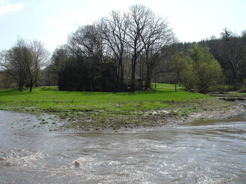
Millville was a small town in the Apple River canyon of northwestern Illinois, founded in 1835 around a sawmill. It grew along the stagecoach road between Chicago and Galena and served as a civic and commercial center for the surrounding area from about 1838 to 1853. Stores, taverns, groceries, blacksmith shops, a sawmill later replaced by a gristmill, and houses stood on its floodplain and bluffs. Decline followed the California Gold Rush and the Illinois Central Railroad, which bypassed the town by four miles, though it lingered as a minor service center for decades. The last buildings reportedly washed away in an 1892 flood. Nothing stands above ground today, and the site lies within Apple River Canyon State Park. Archaeological surveys since 1983 have found cellar depressions, buried foundations, and scatters of nineteenth-century artifacts. The site was listed because these buried remains could reveal how residents lived during the shift from lead mining to farming in Jo Daviess County.
Significance in brief: The nomination argues the town was an important rural service center and civic and commercial hub for western Jo Daviess County from about 1838 to 1853. Its buried archaeological remains have the potential to yield information about early-to-middle nineteenth century life, when the county shifted from a mining frontier to an agricultural economy.
Machine-generated summary. This summary was generated by a language model from the official nomination document and has not been reviewed line by line by an editor. It may contain errors. Check the source document before relying on any detail. Source: nomination document (PDF) · National Archives catalog entry. NRHP reference 03000066, listed March 3, 2003. Summary generated October 2026 (model claude-sonnet-5-5, prompt v1.0-2026-10-29, confidence medium).
Key facts
| Address | Apple River Canyon State Park, 8663 E. Canyon Rd., Apple River |
|---|---|
| County | Jo Daviess County |
| Listed | March 3, 2003 |
| Reference number | 03000066 |
| Resource type | Site |
| Areas of significance | Social History, Historic - Non-Aboriginal |
| Level of significance | Local |
| Status (as stated in the nomination) | No standing structures remain; the last buildings reportedly washed away in an 1892 flood. The floodplain is now used for picnic, playground and parking areas within the state park. |
| Acreage | 25 |
| Coordinates | 42.44008, -90.05123 (NPS GIS) |
What listing means for this property
Sites (archaeological sites, battlefields, landscapes) are often listed with a restricted address to protect them from looting or disturbance. Listing is honorary for private owners; federal undertakings on or near the site go through Section 106 review, and state laws may protect burials and artefacts regardless of listing.
General information, not legal or tax advice. Rules change; confirm with your State Historic Preservation Office or a qualified adviser.
Sources and further reading
- National Park Service, National Register of Historic Places database (snapshot May 2026), reference 03000066.
- Nomination form (PDF, National Archives) — catalog entry
- Wikipedia article (used for cross-checking only; text not reproduced here)
- Wikidata Q14687889
- This listing as JSON
Last updated October 2026. Found an error? See the editorial policy for how to report it.