Battery Rock
Also known as: Battery Rock Landing

Why it's listed
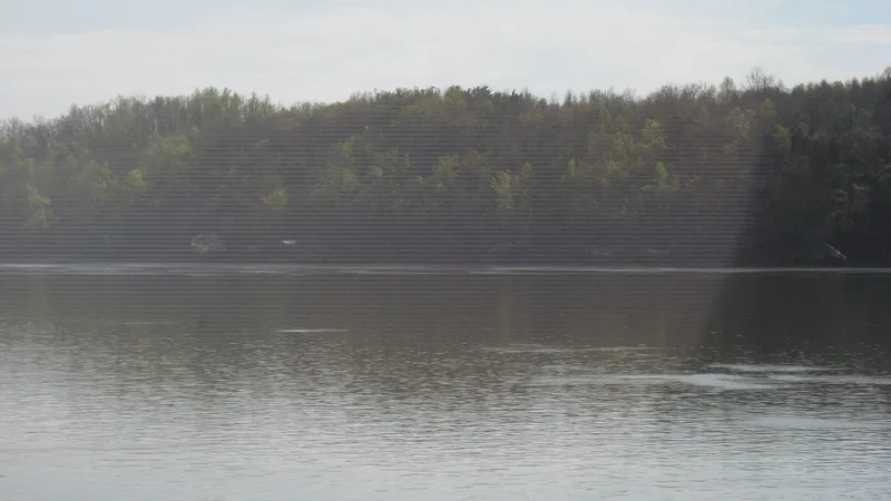
Battery Rock is a limestone bluff rising about 80 feet above the Ohio River in eastern Hardin County, Illinois, with a small landing area at its southern end. Long a navigational landmark, it took on military importance during the Civil War because it faced Caseyville, Kentucky, a base for Confederate activity. In October 1862 a steamer carrying 200 Federal troops unloaded at the landing after being challenged at Caseyville, and the two forces confronted each other across the river until Federal reinforcements surrounded the town. Gunboats later punished local residents. In August 1864, Confederate Col. Adam Johnson blockaded and raided river shipping, and Battery Rock served as the southern observation point where threatened steamboats gathered reports. Civil War-era graffiti survives beneath the bluff overhang, including a carved name with a flag and the word Indiana. The site was listed for its association with these military events and for retaining its setting and feeling.
Significance in brief: The site was used by Federal forces on several occasions during the Civil War to counter a Confederate presence at Caseyville across the river. It was the scene of a standoff in October 1862 and served as a southern observation point and refuge for steamboats during Confederate Col. Adam Johnson's August 1864 attacks on Ohio River shipping. It retains integrity of setting, location, feeling and association.
Machine-generated summary. This summary was generated by a language model from the official nomination document and has not been reviewed line by line by an editor. It may contain errors. Check the source document before relying on any detail. Source: nomination document (PDF) · National Archives catalog entry. NRHP reference 98001257, listed November 5, 1998. Summary generated October 2026 (model claude-sonnet-5-5, prompt v1.0-2026-10-29, confidence medium).
Key facts
| Address | West Bank, River Mile 860, Ohio R., Cave-in-Rock |
|---|---|
| County | Hardin County |
| Listed | November 5, 1998 |
| Reference number | 98001257 |
| Resource type | Site |
| Period of significance | 1862-1864 |
| Criteria |
|
| Areas of significance | Military |
| Level of significance | National |
| Status (as stated in the nomination) | Federally owned by the Shawnee National Forest; the landscape retains its natural setting, with a Forest Service trail, a mid-19th-century chimney of unknown origin and a concrete postal transfer station foundation. |
| Acreage | 33.5 |
| Coordinates | 37.52981, -88.08136 (NPS GIS) |
What listing means for this property
Sites (archaeological sites, battlefields, landscapes) are often listed with a restricted address to protect them from looting or disturbance. Listing is honorary for private owners; federal undertakings on or near the site go through Section 106 review, and state laws may protect burials and artefacts regardless of listing.
General information, not legal or tax advice. Rules change; confirm with your State Historic Preservation Office or a qualified adviser.
Sources and further reading
- National Park Service, National Register of Historic Places database (snapshot May 2026), reference 98001257.
- Nomination form (PDF, National Archives) — catalog entry
- Wikipedia article (used for cross-checking only; text not reproduced here)
- Wikidata Q16838984
- This listing as JSON
Last updated October 2026. Found an error? See the editorial policy for how to report it.