Roods Landing Site

Why it's listed
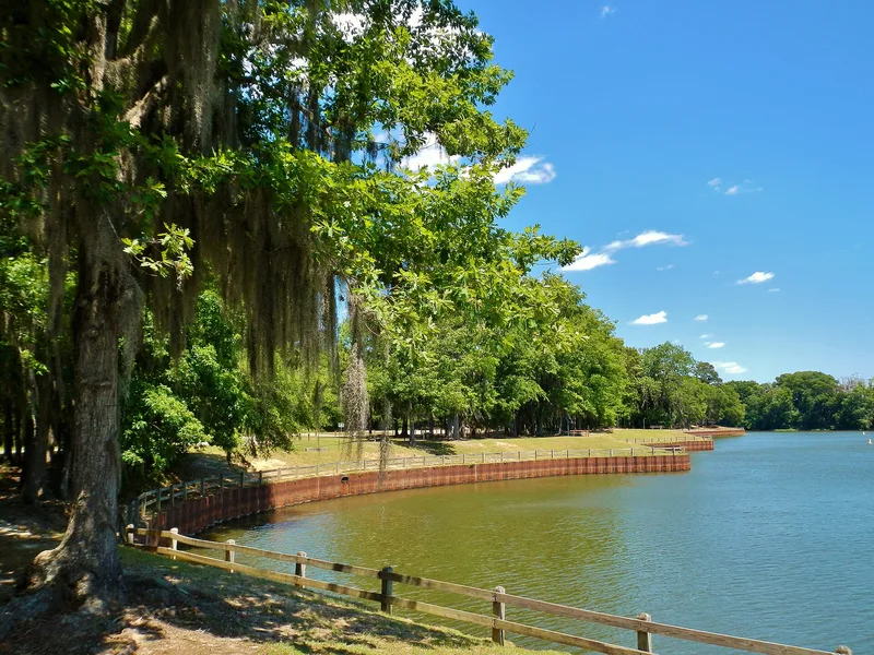
Rood's Landing is an archaeological site where Rood Creek meets the Chattahoochee River in Stewart County, Georgia, south of Omaha. Water bounds it on three sides. Its visible features are eight rectangular platform mounds, four large and four small, and two ditches along the land side. People of the Mississippian period, roughly 700 to 800 years ago, built the mounds and, most likely, the ditches. Earlier groups also used the location, as shown by Late Paleo-Indian and Early Archaic points, steatite and fiber-tempered pottery, and Middle Woodland ceramics. Joseph R. Caldwell excavated the top of Mound A in 1955, and clearing and mapping in 1968 revealed new details about how the mounds were arranged. The site sits at the full pool level of Lake Walter F. George, and erosion threatens parts of the village and three mounds. Its importance lies in what further excavation could reveal about Mississippian development in the region.
Significance in brief: The site is described as an extremely important archaeological site, known mainly for its Mississippian occupation, when the mounds and probably the moats were built. Earlier peoples also used it, back to the Late Paleo-Indian and Early Archaic periods. It has great potential to yield information on prehistoric occupation and Mississippian development in the region, but only if it is preserved.
Machine-generated summary. This summary was generated by a language model from the official nomination document and has not been reviewed line by line by an editor. It may contain errors. Check the source document before relying on any detail. Source: nomination document (PDF) · National Archives catalog entry. NRHP reference 75000609, listed August 19, 1975. Summary generated October 2026 (model claude-sonnet-5-5, prompt v1.0-2026-10-29, confidence medium).
Key facts
| Address | S of Omaha at confluence of Rood Creek and the Chattahoochee River, Omaha |
|---|---|
| County | Stewart County |
| Listed | August 19, 1975 |
| Reference number | 75000609 |
| Resource type | Site |
| Period of significance | circa 1000 A.D. - 1450 A.D. (early occupation possibly as early as 8,000 B.C.) |
| Areas of significance | Prehistoric |
| Level of significance | National |
| Status (as stated in the nomination) | Now a Corps of Engineers access area and no longer plowed; parts of the village and the edges of three mounds are eroding into Lake Walter F. George. |
| Acreage | 100 |
| Coordinates | 32.02793, -85.04355 (NPS GIS) |
What listing means for this property
Sites (archaeological sites, battlefields, landscapes) are often listed with a restricted address to protect them from looting or disturbance. Listing is honorary for private owners; federal undertakings on or near the site go through Section 106 review, and state laws may protect burials and artefacts regardless of listing.
General information, not legal or tax advice. Rules change; confirm with your State Historic Preservation Office or a qualified adviser.
Sources and further reading
- National Park Service, National Register of Historic Places database (snapshot May 2026), reference 75000609.
- Nomination form (PDF, National Archives) — catalog entry
- Wikipedia article (used for cross-checking only; text not reproduced here)
- Wikidata Q7366127
- This listing as JSON
Last updated October 2026. Found an error? See the editorial policy for how to report it.