Fort Mountain
Also known as: Fort Mountain and Cohutta Mountains

Why it's listed
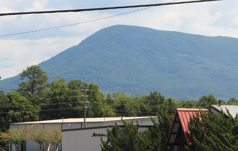
A low stone wall zigzags across the approach to a lookout on the north peak of Fort Mountain, east of Chatsworth in Murray County, Georgia. Built of local stone stacked without mortar, it runs about 285 meters, has three gaps and incorporates nineteen pits or bastions. Its width ranges from roughly 4.5 to 16 feet and its height from 3 to 10 feet. The mountain takes its name from the wall, which the nomination describes as more a marker than a fortification. Its builders and date remain unknown. Excavation by Philip Smith found no artifacts, and the nomination compares it with similar structures such as the Old Stone Fort in Tennessee and Georgia sites like Ladd's Mountain. Local legend credits Spanish gold seekers. Ivan Allen, Sr., an Atlanta businessman, bought the land in 1926 and donated it to the state in 1936 for a park. The nomination covers 211.2 acres and argues the site merits study as part of a wider group of eastern stone constructions.
Significance in brief: The wall is one of a number of aboriginal stone structures found across the eastern United States, and it gave the mountain its name. The nomination presents it as a research and interpretive resource for studying such stone constructions, though no datable material has been found. It also records the legend that Spanish explorers built it and the donation of the land to the state in 1936 by Ivan Allen, Sr.
Machine-generated summary. This summary was generated by a language model from the official nomination document and has not been reviewed line by line by an editor. It may contain errors. Check the source document before relying on any detail. Source: nomination document (PDF) · National Archives catalog entry. NRHP reference 77001587, listed November 23, 1977. Summary generated October 2026 (model claude-sonnet-5-5, prompt v1.0-2026-10-29, confidence medium).
Key facts
| Address | U.S. 76, Chatsworth |
|---|---|
| County | Murray County |
| Listed | November 23, 1977 |
| Reference number | 77001587 |
| Resource type | Site |
| Areas of significance | Prehistoric |
| Level of significance | National |
| Status (as stated in the nomination) | Listed condition is ruins and unaltered. The land is a state-owned park; the recreational area south of the lookout is excluded from the nominated property. |
| Acreage | 211.2 |
| Coordinates | 34.78430, -84.70663 (NPS GIS) |
What listing means for this property
Sites (archaeological sites, battlefields, landscapes) are often listed with a restricted address to protect them from looting or disturbance. Listing is honorary for private owners; federal undertakings on or near the site go through Section 106 review, and state laws may protect burials and artefacts regardless of listing.
General information, not legal or tax advice. Rules change; confirm with your State Historic Preservation Office or a qualified adviser.
Sources and further reading
- National Park Service, National Register of Historic Places database (snapshot May 2026), reference 77001587.
- Nomination form (PDF, National Archives) — catalog entry
- Wikipedia article (used for cross-checking only; text not reproduced here)
- Wikidata Q5471724
- This listing as JSON
Last updated October 2026. Found an error? See the editorial policy for how to report it.