Fort Barrington

Why it's listed
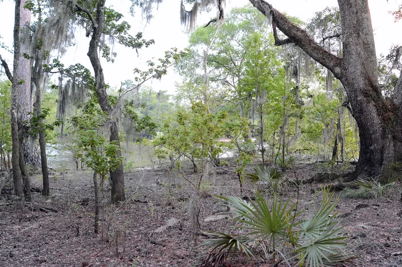
Fort Barrington is the remains of a frontier fort on a narrow peninsula along the Altamaha River in McIntosh County, Georgia. Lt. Robert Baillie built it in 1760 and named it for Josiah Barrington, a friend of Oglethorpe. A 1762 record describes a square fort about 75 feet on each side with barracks. During the Revolution it was reoccupied as Fort Howe and served as military headquarters for the southern department, and American troops held it as late as May 1778. It also had strategic roles in the War of 1812 and the Civil War. The location mattered because overland coastal traffic had to use the pass just below it to avoid the Altamaha delta swamps, along an old Indian trail that became the route between Savannah and St. Augustine. Today low sand ridges and two bastions survive, though river action has destroyed much of the site. A private sportsman's club has owned the land since 1909.
Significance in brief: The site sat at a pass on the main coastal route from Savannah to St. Augustine, and was a transportation, communications, military and political center for over two centuries. The fort was renamed Fort Howe during the Revolution and served as headquarters for the southern department. The area was also occupied in prehistoric and protohistoric times.
Machine-generated summary. This summary was generated by a language model from the official nomination document and has not been reviewed line by line by an editor. It may contain errors. Check the source document before relying on any detail. Source: nomination document (PDF) · National Archives catalog entry. NRHP reference 72001447, listed September 27, 1972. Summary generated October 2026 (model claude-sonnet-5-5, prompt v1.0-2026-10-29, confidence medium).
Key facts
| Address | NW of Cox, Cox |
|---|---|
| County | McIntosh County |
| Listed | September 27, 1972 |
| Reference number | 72001447 |
| Resource type | Site |
| Architect / builder | Lt. Robert Baillie (built the fortification in 1760) |
| Areas of significance | Prehistoric, Historic - Aboriginal, Historic - Non-Aboriginal, Military, Engineering, Transportation, Exploration/Settlement, Architecture, Communications |
| Level of significance | National |
| Status (as stated in the nomination) | Ruins in altered condition; held since 1909 as part of a private sportsman's hunting and fishing reserve with a club house, small structures and dock. Part of the original site has been lost to river action. |
| Acreage | 10 |
| Coordinates | 31.48049, -81.61650 (NPS GIS) |
What listing means for this property
Sites (archaeological sites, battlefields, landscapes) are often listed with a restricted address to protect them from looting or disturbance. Listing is honorary for private owners; federal undertakings on or near the site go through Section 106 review, and state laws may protect burials and artefacts regardless of listing.
General information, not legal or tax advice. Rules change; confirm with your State Historic Preservation Office or a qualified adviser.
Sources and further reading
- National Park Service, National Register of Historic Places database (snapshot May 2026), reference 72001447.
- Nomination form (PDF, National Archives) — catalog entry
- Wikipedia article (used for cross-checking only; text not reproduced here)
- Wikidata Q16837411
- This listing as JSON
Last updated October 2026. Found an error? See the editorial policy for how to report it.