Dismal Swamp Canal

The National Park Service has not published a boundary polygon for this district; the map shows the listed properties inside it and the district's reference point.
Why it's listed
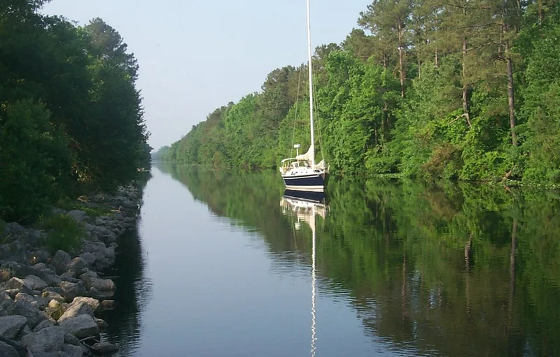
Running 22 miles between Deep Creek, Virginia, and South Mills, North Carolina, this canal cuts along the edge of the Great Dismal Swamp. Authorized by Virginia in 1787 and ratified by North Carolina in 1790, it was dug by hand from 1793, with the through cut completed in 1805. A Feeder Ditch added in 1812 draws water from Lake Drummond to supplement navigation. Private companies widened, deepened and reduced the number of locks before the federal government bought the canal in 1929. Its present locks, bascule drawbridges and spillways date from the 1930s to the 1960s. The canal was an early inland waterway linking Hampton Roads with Elizabeth City, carrying shingles, lumber, cotton and passengers, and it visited by Presidents Monroe and Jackson. It faced competition from the Albemarle and Chesapeake Canal, which opened in 1859. Today it forms an alternate route of the Atlantic Intracoastal Waterway, used mostly by pleasure boats, and its long, changing operation underlies its listing.
Machine-generated summary. This summary was generated by a language model from the official nomination document and has not been reviewed line by line by an editor. It may contain errors. Check the source document before relying on any detail. Source: nomination document (PDF) · catalog entry. Generated October 2026 (model claude-sonnet-5-5, prompt v1.0-2026-10-29).
| Period of significance | 1787-1861, 1866-1892, 1892-1912, 1913-1929, 1929-1941 |
|---|---|
| Styles | No style |
| Areas of significance | Commerce, Engineering, Transportation, Maritime History |
| Acreage | 1203 |
| Boundary source | not published |
| Full listing page | Dismal Swamp Canal (property record) |
What listing means for this property
This is a historic district. Buildings within its boundary are either contributing (they add to the district's significance) or non-contributing. Owners of contributing income-producing buildings can claim the 20% federal rehabilitation tax credit; homeowners should look at state credits. National Register districts impose no design review by themselves; a local historic district ordinance, if one exists, does (the difference explained).
General information, not legal or tax advice. Rules change; confirm with your State Historic Preservation Office or a qualified adviser.