Hastings Adobe
Also known as: Montezuma City or Montezuma Adobe

Why it's listed
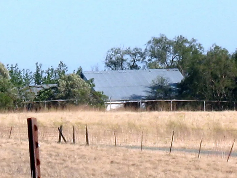
Built in 1846 near Collinsville in Solano County, this adobe house was erected by Lansford W. Hastings, an Ohio lawyer who had written an emigrant's guide to California and was named a Mormon agent to choose a colony site. He selected land where the Sacramento and San Joaquin rivers meet Suisun Bay, planned a city called Montezuma City, and built the four-room adobe with an attic from sun-dried bricks of local clay and river water. The American flag was raised in California on July 7, 1846, and the Mormons lost interest in the site. Hastings left after about three years. L.P. Marshall and his sons occupied the house from 1853, and the family held it until 1908, when the Stratton family acquired it. A frame structure was built around the adobe. Pacific Gas & Electric bought the property in 1963 as a future power plant site. The building is now idle, damaged by vandals and rain, and fenced.
Significance in brief: The adobe was built by Hastings, a Mormon agent, as the centre of a planned colony and city called Montezuma City at the junction of the Sacramento and San Joaquin rivers. The plan faded when the American flag was raised in California on July 7, 1846. The house later served as a ranch dwelling for the Marshall and Stratton families.
Machine-generated summary. This summary was generated by a language model from the official nomination document and has not been reviewed line by line by an editor. It may contain errors. Check the source document before relying on any detail. Source: nomination document (PDF) · National Archives catalog entry. NRHP reference 72000260, listed June 13, 1972. Summary generated October 2026 (model claude-sonnet-5-5, prompt v1.0-2026-10-29, confidence medium).
Key facts
| Address | NE of Collinsville off CA 68, Collinsville |
|---|---|
| County | Solano County |
| Listed | June 13, 1972 |
| Reference number | 72000260 |
| Resource type | Building |
| Period of significance | 19th Century; prior to July 7, 1846 |
| Architect / builder | Lansford W. Hastings |
| Areas of significance | Community Planning and Development |
| Level of significance | Local |
| Status (as stated in the nomination) | Idle and unoccupied; vandalized, with rain damage to an interior adobe wall; fenced with a padlocked gate; restoration urged. |
| Acreage | 0.1 |
| Coordinates | 38.07649, -121.83164 (NPS GIS) |
What listing means for this property
National Register listing is honorary: it recognises significance and does not restrict what a private owner may do without federal money or permits. It unlocks the 20% federal rehabilitation tax credit for income-producing buildings, state credits in many states, and Section 106 review when federal agencies are involved. See what listing means in practice.
Noted as vacant in the nomination. Nomination documents can be decades old; current status may differ. If you are considering buying an empty listed property, read the due-diligence checklist.
General information, not legal or tax advice. Rules change; confirm with your State Historic Preservation Office or a qualified adviser.
Sources and further reading
- National Park Service, National Register of Historic Places database (snapshot May 2026), reference 72000260.
- Nomination form (PDF, National Archives) — catalog entry
- Wikipedia article (used for cross-checking only; text not reproduced here)
- Wikidata Q5680268
- This listing as JSON
Last updated October 2026. Found an error? See the editorial policy for how to report it.