Mission de la Purisima Concepcion de Maria Santisima Site
Also known as: Site of Mission Vieja de la Purisima

Why it's listed
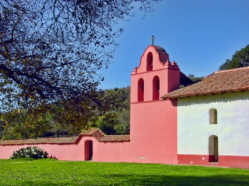
Beneath the streets and homes of southern Lompoc lie the remains of the first La Purisima mission, founded by the Franciscan Father-President Lasuen on December 8, 1787. It was the eleventh of twenty-one Spanish missions on the California coast. On December 21, 1812, earthquakes and floods destroyed the complex in a single day, and the mission was rebuilt about five miles away at the present La Purisima State Historic Park. Residential development now covers roughly 90 percent of the original site. Visible traces include the main chapel entrance, part of an adobe wall at the chapel's southwest corner, sections of an aqueduct, and tile floors exposed in a railroad cut. Surveys in the 1970s recovered roof tiles, floor tiles, majolica sherds and Indian artifacts. The site was listed because buried remains may show differences in artifacts and construction between the first and second mission sites, helping establish a chronology for California's mission system.
Significance in brief: The mission was the eleventh of twenty-one Spanish missions on the California coast and marked the first permanent introduction of European culture to the Santa Ynez valley. Its destruction in a single day by earthquake and mudflow in 1812 likely sealed a wealth of remains under fallen adobe. Comparison with the second mission site could help build a chronological sequence for the whole California mission system.
Machine-generated summary. This summary was generated by a language model from the official nomination document and has not been reviewed line by line by an editor. It may contain errors. Check the source document before relying on any detail. Source: nomination document (PDF) · National Archives catalog entry. NRHP reference 78000775, listed May 5, 1978. Summary generated October 2026 (model claude-sonnet-5-5, prompt v1.0-2026-10-29, confidence medium).
Key facts
| Address | Bounded by Locust Ave., city limits, E and G Sts., Lompoc |
|---|---|
| County | Santa Barbara County |
| Listed | May 5, 1978 |
| Reference number | 78000775 |
| Resource type | Site |
| Period of significance | Dec. 8, 1787 - Dec. 21, 1812 |
| Architectural style | Spanish Colonial Mission |
| Areas of significance | Exploration/Settlement, Architecture |
| Level of significance | State |
| Status (as stated in the nomination) | Ruins; about 90 percent of the original site is covered by residential development, with a few vacant lots in the Cloister section appearing undisturbed. |
| Acreage | 8.4 |
| Coordinates | 34.63335, -120.45667 (NPS GIS) |
What listing means for this property
Sites (archaeological sites, battlefields, landscapes) are often listed with a restricted address to protect them from looting or disturbance. Listing is honorary for private owners; federal undertakings on or near the site go through Section 106 review, and state laws may protect burials and artefacts regardless of listing.
General information, not legal or tax advice. Rules change; confirm with your State Historic Preservation Office or a qualified adviser.
Sources and further reading
- National Park Service, National Register of Historic Places database (snapshot May 2026), reference 78000775.
- Nomination form (PDF, National Archives) — catalog entry
- Wikipedia article (used for cross-checking only; text not reproduced here)
- Wikidata Q6464680
- This listing as JSON
Last updated October 2026. Found an error? See the editorial policy for how to report it.