Skidoo

Why it's listed
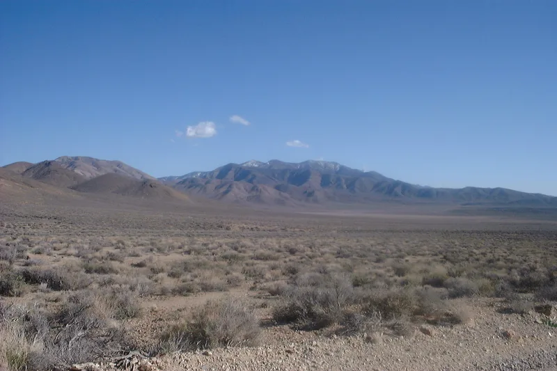
Skidoo was a gold mining town in the Panamint Range of Death Valley National Monument, Inyo County, California. Mining began in 1906, and a mill was built in 1907, burned, and was rebuilt in 1913. At its peak the town had more than 500 residents, stores, a saloon or two, a newspaper and a telephone line to Beatty, Nevada. Water reached the mill through a pipeline from Telescope Peak. The Tucki and Del Norte mines were the main source of wealth. Activity faded, then revived briefly in the 1930s. Today no town buildings remain, but a 15-stamp mill, water vats, a timber loading chute, concrete pads, shafts and test pits survive, mostly in poor condition. The site was recognized as a representative example of the early twentieth-century gold boom and of large-scale mining of narrow veins. Its surface mill and accessible workings illustrate gravity-feed ore processing and offer interpretive potential.
Significance in brief: The nomination argues Skidoo represents the last gold mining boom of the early 20th century in Death Valley and is an outstanding example of large-scale mining of narrow gold-bearing veins. The surviving mill and workings illustrate historic mining and ore-processing methods and offer strong interpretive potential.
Machine-generated summary. This summary was generated by a language model from the official nomination document and has not been reviewed line by line by an editor. It may contain errors. Check the source document before relying on any detail. Source: nomination document (PDF) · National Archives catalog entry. NRHP reference 74000349, listed April 16, 1974. Summary generated October 2026 (model claude-sonnet-5-5, prompt v1.0-2026-10-29, confidence medium).
Key facts
| Address | Death Valley National Monument, Wildrose District, Death Valley |
|---|---|
| County | Inyo County |
| Listed | April 16, 1974 |
| Reference number | 74000349 |
| Resource type | District |
| Period of significance | 1906-1930s |
| Areas of significance | Industry, Commerce |
| Level of significance | Local |
| Status (as stated in the nomination) | Described as ruins in very poor condition; no town buildings remain, though the stamp mill, water vats, a loading chute, concrete pads, mine shafts and test pits survive. Preservation was recommended. |
| Acreage | 4160 |
| Coordinates | 36.43463, -117.15619 (NPS GIS) |
What listing means for this property
This is a historic district. Buildings within its boundary are either contributing (they add to the district's significance) or non-contributing. Owners of contributing income-producing buildings can claim the 20% federal rehabilitation tax credit; homeowners should look at state credits. National Register districts impose no design review by themselves; a local historic district ordinance, if one exists, does (the difference explained).
Noted as vacant in the nomination. Nomination documents can be decades old; current status may differ. If you are considering buying an empty listed property, read the due-diligence checklist.
General information, not legal or tax advice. Rules change; confirm with your State Historic Preservation Office or a qualified adviser.
Sources and further reading
- National Park Service, National Register of Historic Places database (snapshot May 2026), reference 74000349.
- Nomination form (PDF, National Archives) — catalog entry
- Wikipedia article (used for cross-checking only; text not reproduced here)
- Wikidata Q7535090
- This listing as JSON
Last updated October 2026. Found an error? See the editorial policy for how to report it.